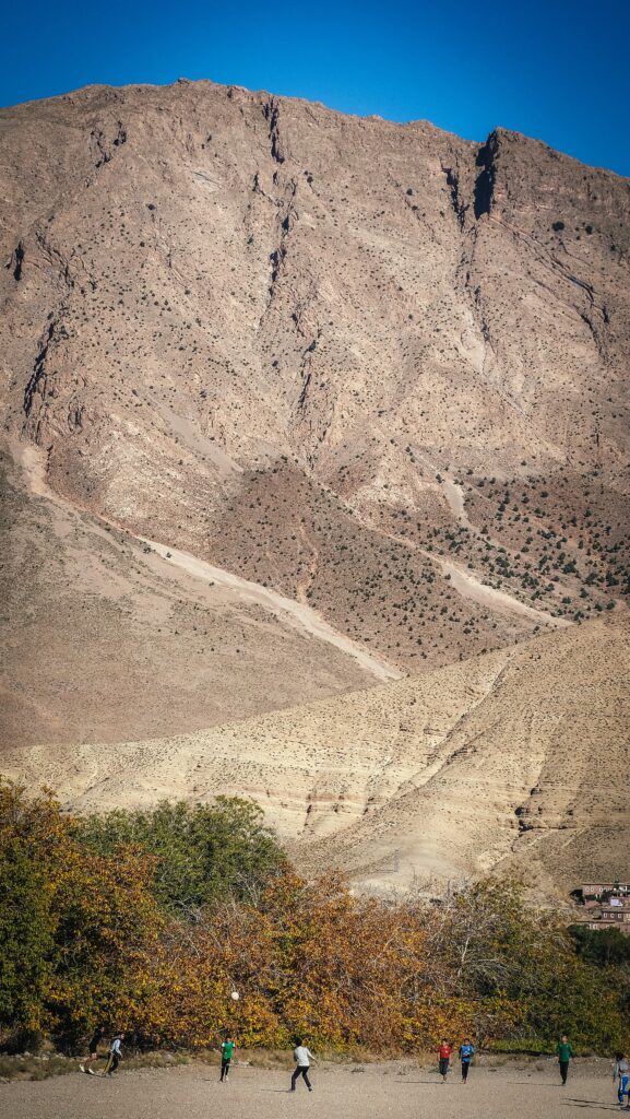
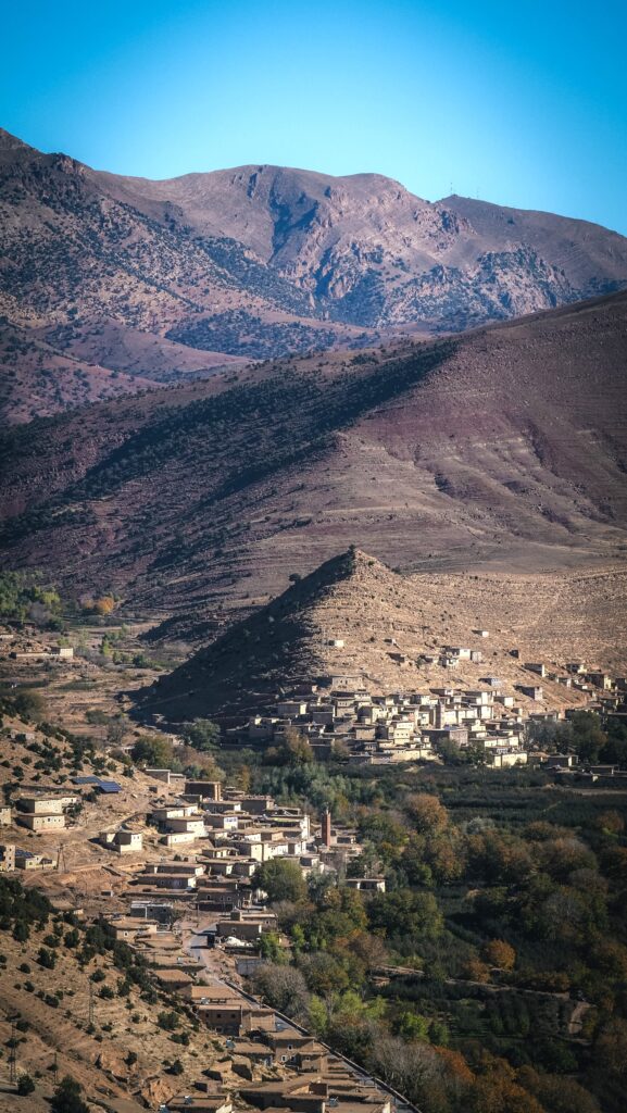
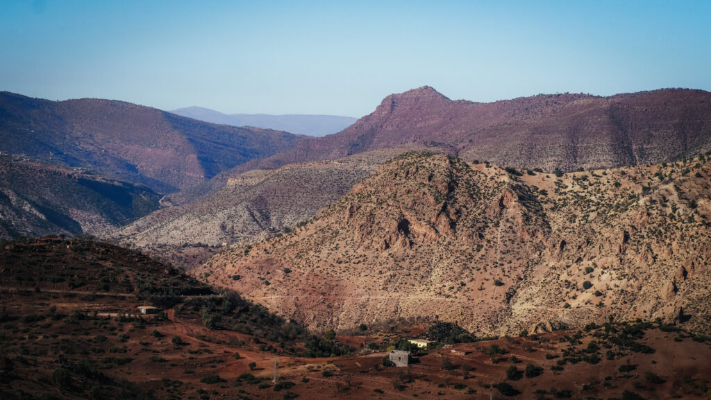
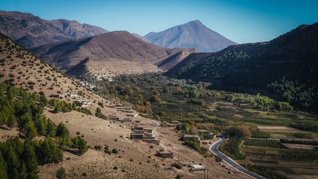
The Ait Bouguemez Valley, often referred to as the “Happy Valley,” is located in the Central High Atlas Mountains of Morocco. It is situated at an elevation of around 1,800 to 2,000 meters above sea level, providing cooler temperatures compared to the surrounding lowlands.
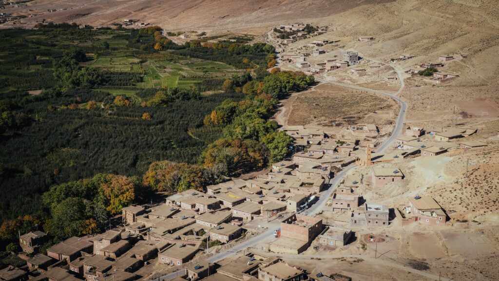
The valley is home to the Ait Bouguemez Berbers, an indigenous group with a rich cultural heritage. The local language is Tamazight, a Berber language. Traditional ways of life are well-preserved here, with agriculture being a primary occupation. The valley is known for its walnuts, apples, and barley crops.
Visitors often hike to nearby peaks such as M’Goun (4,071 meters), the second-highest mountain in Morocco. Moreover, the valley offers opportunities for cultural immersion, including homestays and interactions with local communities. Other notable attractions include the dinosaur footprints near the village of Ibaqalliwn, and the ancient granaries, or “igherm,” used by the Berbers for storage.
How to get there?
To get to Ait Bouguemez Valley, you have several options depending on your starting point and preferred mode of transport:
By Car
The best option is to rent a car either in Marrakesh. There are several interesting places to see en route and the landscape of the High Atlas Mountains is extremely scenic. The distance to Ait Bouguemez Valley is about 180 kilometres (4 – 5 hours).
If you drive from Ouarzazate, it is 222 km (5,5 – 7 hours). The landscape around the road R307 is very beautiful! Fuel stations and amenities become sparse as you get closer to the valley. Ensure your vehicle is well-fueled, and carry enough water and snacks.
By Bus
First, take a bus from Marrakesh to Azilal. The bus ride takes about 4 to 5 hours. Several companies operate this route, and you can find buses departing from the main bus stations in Marrakesh.
In Azilal, you can find a grand taxi or a local minibus to the Ait Bouguemez Valley. This part of the journey takes about 2 to 3 hours. Taxis and minibuses are available near the bus station in Azilal.


The best time to visit
The best time to visit Ait Bouguemez Valley is spring (March to May) and autumn (September to November). The weather is pleasantly warm, with daytime temperatures ranging from 15°C to 25°C. This makes exploring villages, hiking, and enjoying outdoor activities comfortable. Autumn is also a harvest time for apples and walnuts, offering a chance to experience local agriculture practices.
Summers can be scorching, with temperatures often exceeding 30°C. While some travellers can handle the heat, it may be uncomfortable for extended outdoor activities. Winters are cold with occasional snowfall. Daytime temperature ranges from 0 C to 15 C. The valley can be very picturesque under a blanket of snow, but some trails and roads may be inaccessible or challenging due to snow and ice.
You should always have some warmer layers, regardless of the season. In the end, it’s mountains there!

How long to stay there?
One day is enough if you just plan to drive through the valley with a few photo stops. However, I highly recommend staying overnight in one of the local homestays and planning at least a few hours hike in the area.
Where to stay?
I spent the night in La Montagne Au Pluriel in Agouti village. The room was cosy and the shared bathroom facilities were clean with ample hot water. The owner was very helpful and offered advice on where to explore the surrounding area. He can also organize a guide for longer treks, e.g. to Mount Goun. I ate breakfast and dinner there and the food was delicious and traditional.

What to do in Ait Bouguemez Valley?
Trekking
Ait Bouguemez to Timit
I did a half-day trek, starting at my accommodation in Agouti. The morning was so cold that I even wore my thermal underwear but as soon as the sun rose from behind the mountains, it got really hot!
I turned right, crossed over the river and then turned left, following a dirt road surrounded by apple orchards. It’s about 7,5 km (1.5 – 2 hours) to reach a viewpoint in Timit where the ancient granary is located. The views around it are splendid and for a few dirhams, you can go inside and on its roof.
I returned to La Montagne Au Pluriel following an asphalt road. The total distance of the hike was 13 kilometers and it took me about 4-5 hours.
Ait Bouguemez to Ikiss
Another hike option would be heading south towards Ait Said and further through Arrouss to Ikiss. From Arrouss, the path winds its way south through a beautiful gorge, with some nice wildflowers usually lining the route. Once the path leaves the gorge you find yourself at one end of some wide open fields. Monitor the time and your position on Mapy.CZ and turn back to return to Ait Bouguemez the same way. The distance to the Berber village of Ikiss is about 9 kilometres one way.
This section of the hike corresponds to the first day of the ascent to Mount Goun.
Mount Goun
The biggest hiking challenge in the region is definitely Mount Goun. Standing at about 4,071 meters, it is the third-highest peak in North Africa.
There are various routes to the summit, with the standard route passing through the Tarkeddit Plateau. The trek is considered moderate to challenging. It involves high-altitude hiking, and trekkers should be in good physical condition and acclimatized to altitude.
The best time to trek Mount Goun is from May to September when the weather is more stable and the trails are clear of snow. However, weather conditions can change rapidly in the mountains, so it’s important to be prepared.
Guided treks usually take 4-6 days and the best is to find a local guide directly at Ait Bouguemez instead of using the services of travel agents from Marrakesh. It will save you a lot of money, even though you need to arrive at Ait Bouguemez at your own cost. The guide will provide you with food, tents, mules, and muleteers.
For other hiking options, please ask about at your accommodation. Locals have the best knowledge of where to go!



Dinosaur Footprints
Nothing indicates the presence of the site from the road so it’s a bit hard to find. You need to go behind the houses and it feels like walking into someone’s backyard. Most likely some locals will show you the way for a few dirhams. The rural experience is more fascinating than the tracks themselves, although it really feels like touching the history.
Lac Izoughar
Most likely the lake will be without water, but the views with nearby peaks are well worth it. It’s an easy trek of about 1 hour from the town of Zawyat Oulmzi, starting from the vicinity of Gite Touda.
Tizi N’ Tighist Conservation Center
This museum is located at the foot of Mount Rat and preserves rock inscriptions dating back to more than 2500 years BC. Look for “Tizi N’ Tighist conservation des gravures rupestres de Jbel Rat” in Google Maps.
Tizi n’ Tirghist
You need to go over this pass with an elevation of 2.628 meters above sea level to reach the road R302. Before driving up, make sure the weather conditions are favourable.
Iminifri Natural Bridge
Amazing geological formation located near the town of Demnate. It is a natural rock arch that spans a river, created through the erosive forces of water over a long period. There are steps down on both sides so you can easily make a half an hour loop hike. Good footwear is recommended but you can skip the guide services.


