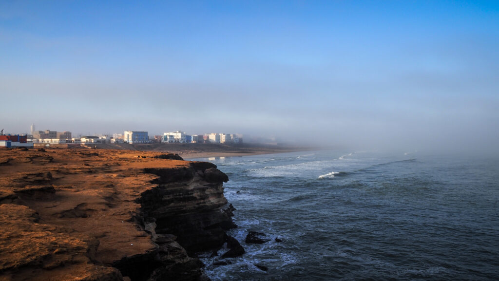
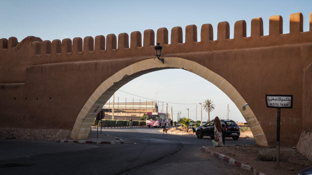
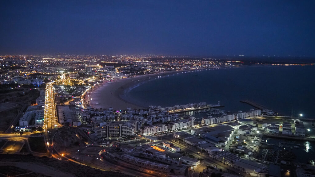
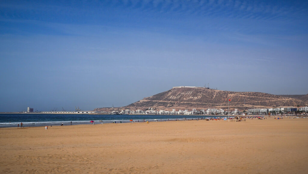
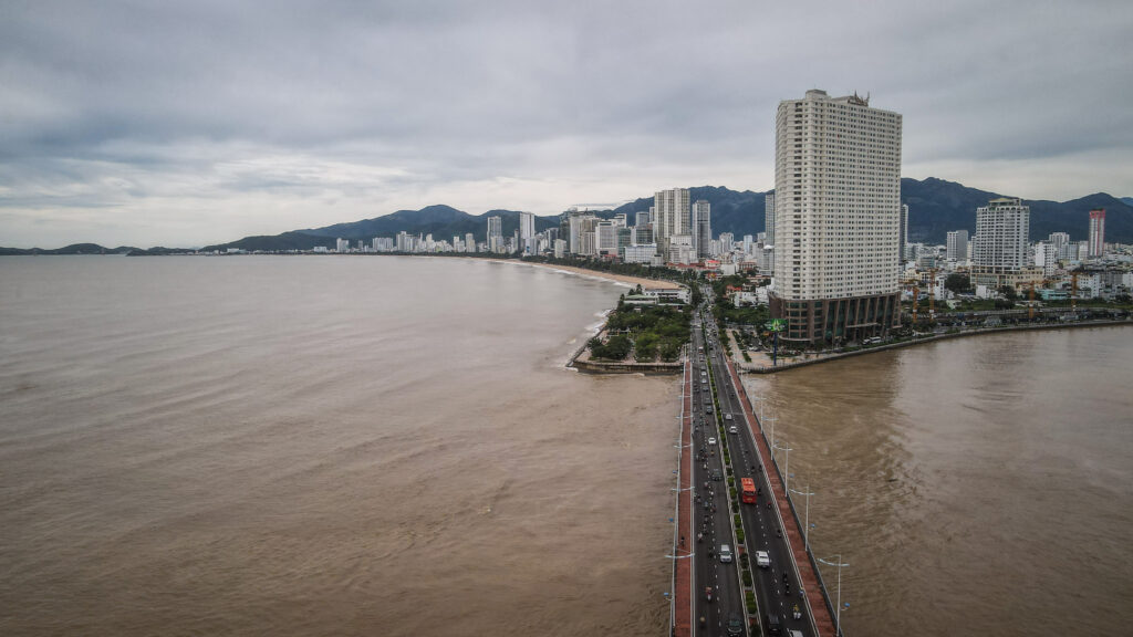
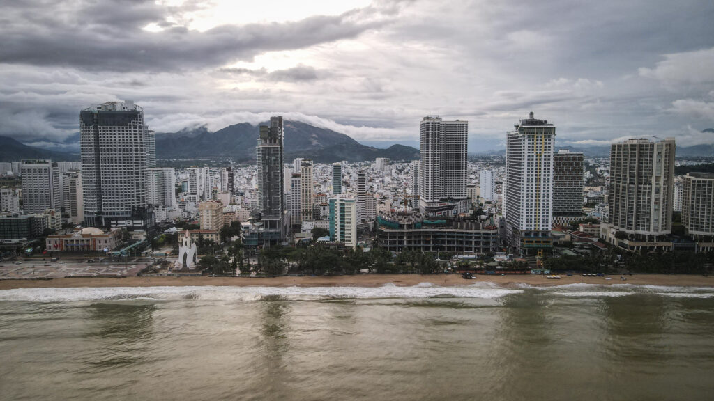
Nha Trang is located in Khanh Hoa Province on the south-central coast of Vietnam. It’s a popular tourist destination, famous for its long stretch of sandy beach, turquoise waters, and a wide array of water activities like snorkelling, scuba diving, and boat trips to nearby islands.
A brief history
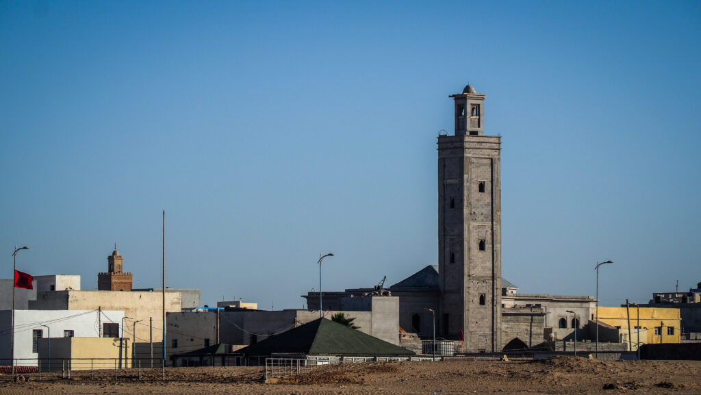
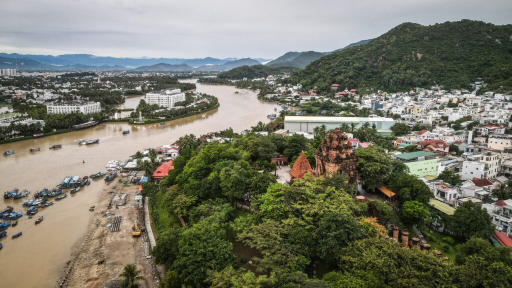
The area that is now Nha Trang was originally inhabited by the Champa Kingdom, an ancient civilization that controlled much of central and southern Vietnam from the 2nd century until the 15th century. The Po Nagar Cham Towers, which still stand today, are remnants of this period and were constructed between the 7th and 12th centuries.
In the 17th century, the Champa Kingdom declined, and the Vietnamese gradually took control of the region. Nha Trang became part of the Nguyen Dynasty’s territories.
During the late 19th century, Vietnam became part of French Indochina, and Nha Trang began to develop under French influence. The city’s development included urban planning and the introduction of new architectural styles. In the early 20th century, Nha Trang gained prominence as a coastal resort town. The French built several villas and vacation homes, enhancing its reputation as a seaside retreat.
During the Vietnam War (1955-1975), Nha Trang was an important strategic location due to its airbase and port. The city was a significant site for American military and logistical operations.
After the reunification of Vietnam in 1975, Nha Trang continued to develop, though it remained relatively quiet until the economic reforms of the late 1980s and early 1990s. These reforms led to an increase in tourism and investment.
How to get to Nha Trang?
To get to Nha Trang in Vietnam, you can either fly into Cam Ranh International Airport, which is the closest airport, or you can take a train or a bus from other cities in Vietnam like Ho Chi Minh City or Hanoi. The train journey offers scenic views, while buses are usually more affordable.
Trains are slightly faster than buses but you should expect about 8-10 hours of travelling from Ho Chi Minh City and over 24 hours from Hanoi.
Check your connections at 12Go.Asia
When to go?
The best time to visit Nha Trang in Vietnam is typically from April to August, during the dry season. This period offers sunny weather with lower chances of rain, making it ideal for enjoying the beaches and outdoor activities. However, keep in mind that Nha Trang can get crowded with tourists during peak season, so consider visiting during the shoulder months of January to April for fewer crowds and still pleasant weather.
Where to stay?
I stayed at Le Soleil Hotel where a standard double room cost me about 13 USD per night. It’s a budget place but very convenient. The beach promenade is within walking distance and they have underground parking for motorbikes.
How to get around the town?
Many places can be easily visited on foot but if it’s too hot then without a doubt, the best option is to rent a scooter. Ask for one at your accommodation. They will either have one or get in touch with someone who can deliver it to you within minutes.
Alternatively, if you don’t want to ride yourself, you can always order a taxi from a widely used and cheap Grab App.
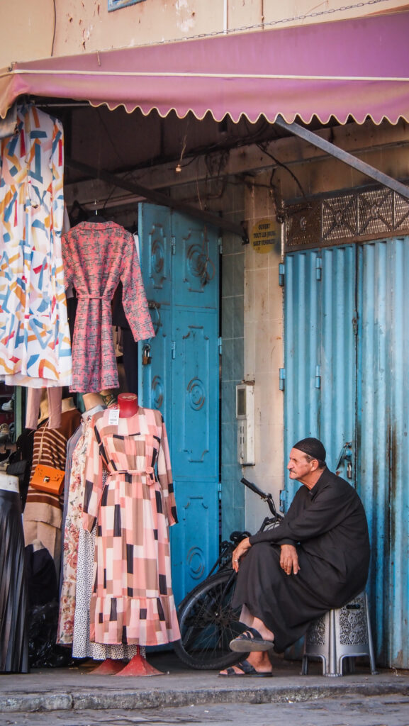
What to do in Nha Trang?
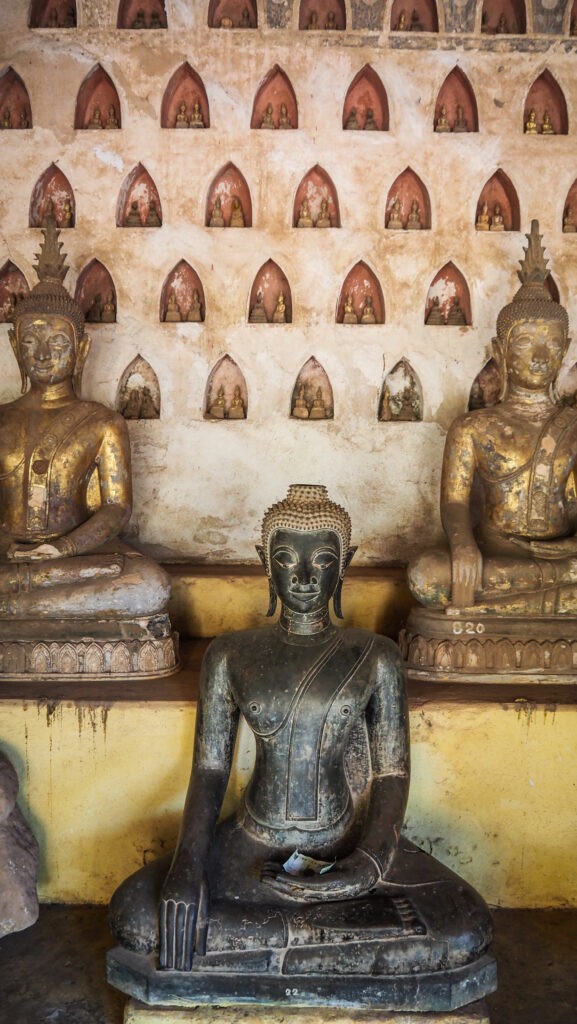
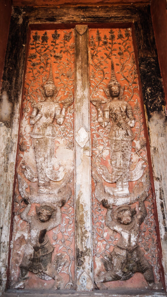
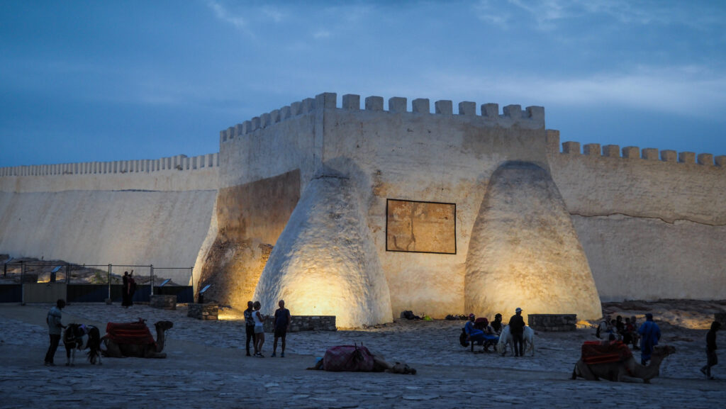
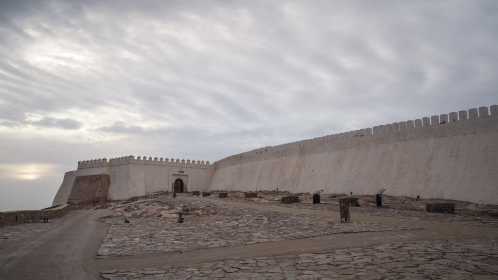
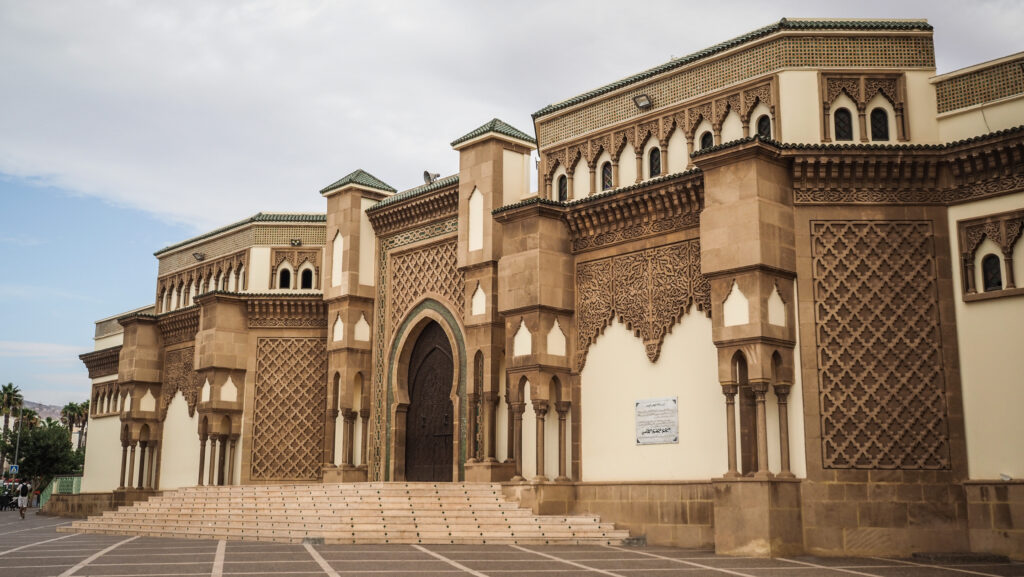
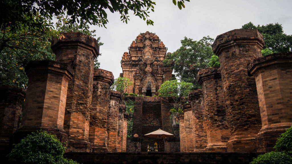
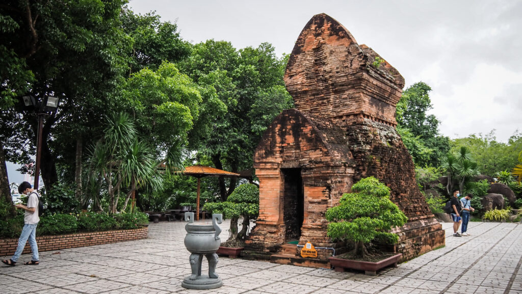
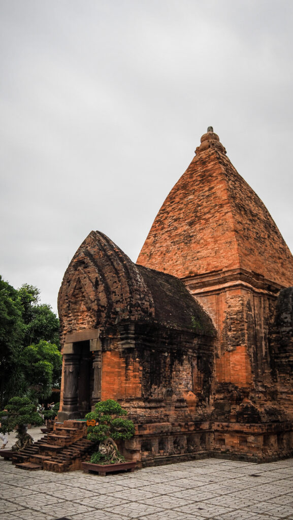
Po Nagar Cham Towers
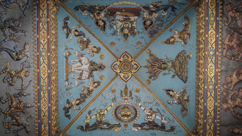
These magnificent towers were constructed between the 7th and the 12th centuries, and Buddhists from China, Vietnam, and the Cham people still regularly gather here to worship. The temple honours Yang Ino Po Nagar, the goddess of the Dua clan, which ruled over the southern region of the Cham empire.
This location may have been utilised for worship as early as the second century AD. After being destroyed by the invading Javanese in AD 774, the original timber structure was rebuilt in 784 with stones and bricks.
There were formerly more towers in the complex, but now there are just four. The most impressive is the 28-meter-tall North Tower, which has a vestibule, vaulted interior brickwork, and a terraced pyramidal roof. Parts of the vestibule walls and the sandstone doorposts are covered in inscriptions. Beneath the antechamber’s pyramidal roof are a gong and a drum. The goddess Uma, leaning back against a monstrous beast is depicted in a black stone statue in the 28-meter-tall main room.
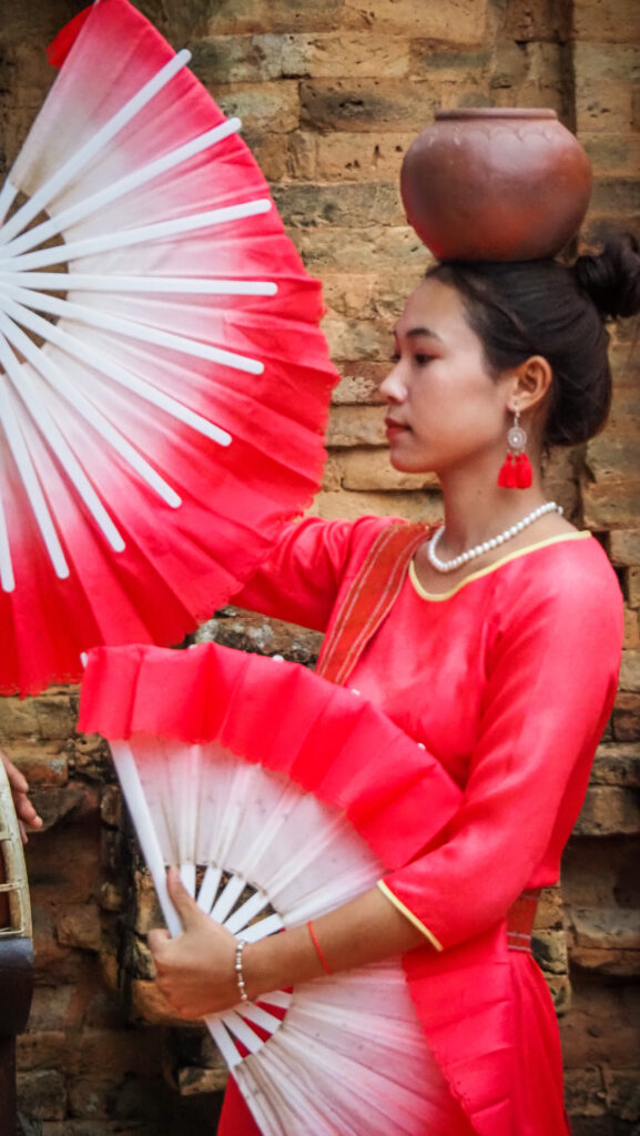
If your timing is right, you may also witness a short performance with Champa dance and music.
Beach
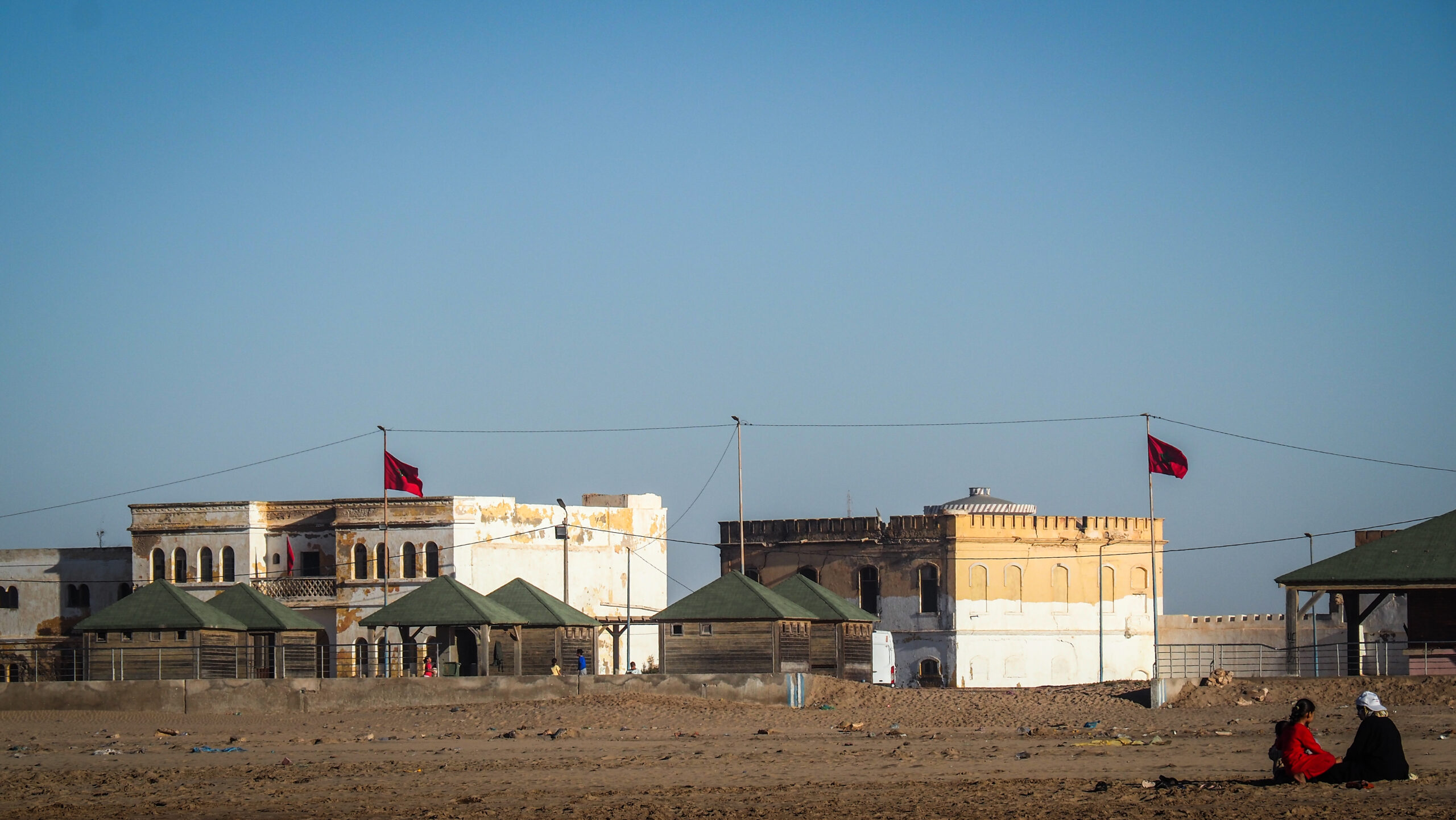
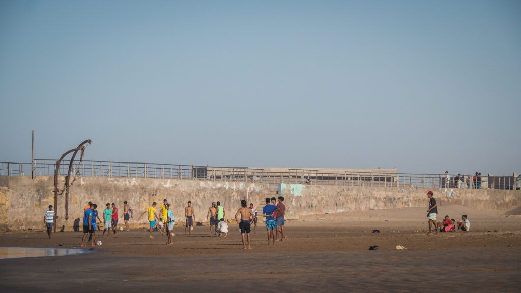
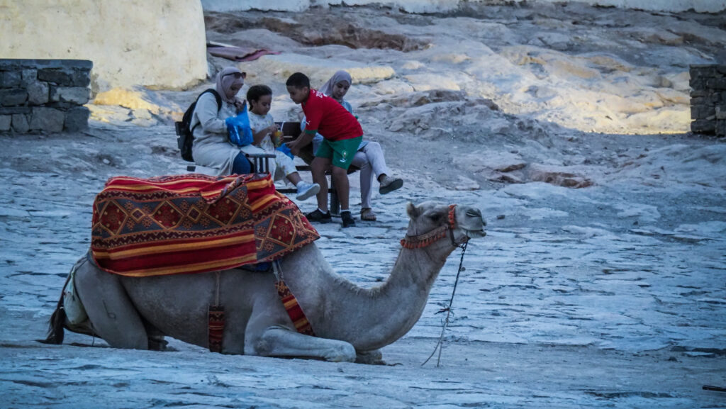
Every vacation magazine features the city’s best feature, a 6-kilometre golden-sand beach. Certain areas are cordoned off and intended for safe swimming away from boats or jet skis. The promenade is a great spot for an afternoon run or stroll, and the turquoise sea is really tempting.
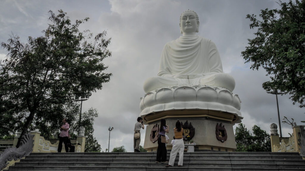
Long Son Pagoda
You will need to climb many stairs to get to a giant statue of Buddha at the top. The best is to visit in the morning or the afternoon. It’s free to visit but watch out for aggressive selling techniques and scams in that area.
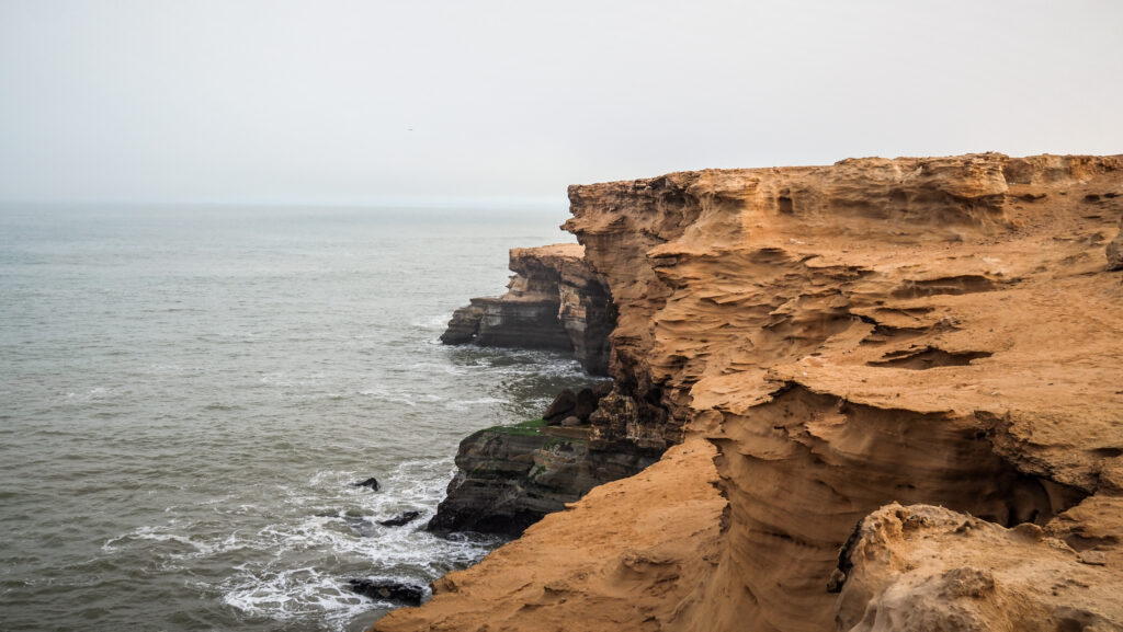
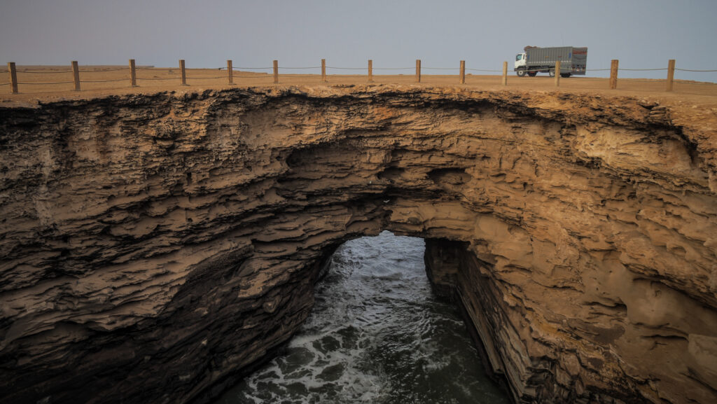
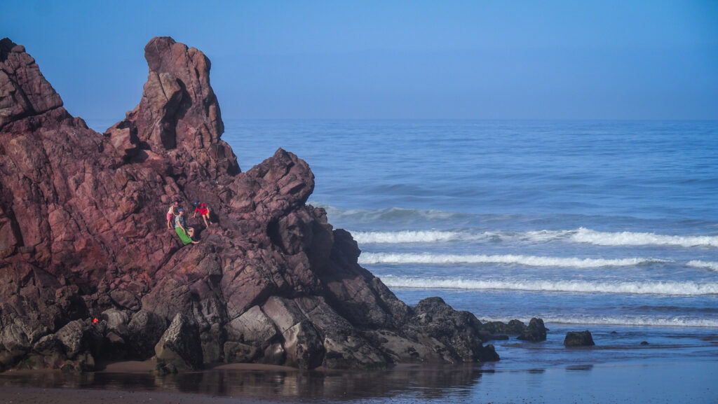
Hon Chong Promontory
A very unique rocky landscape with some pretty views. You will need to pay a 30,000 VND entrance fee. A lot of organized tours stop here so don’t expect peace.
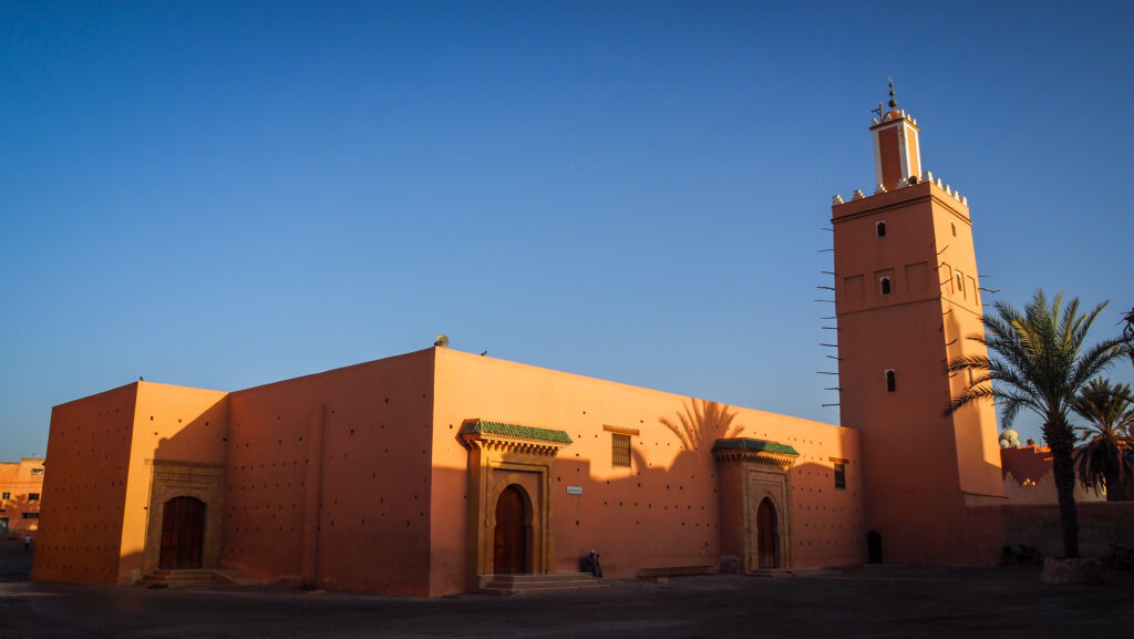
Nha Trang Cathedral
The church was built in Gothic style by the French and it was opened in 1933. You can get nice panoramic views of the city from there, but even though it should be free, you may experience forced donation by the security guard.
Alexandre Yersin Museum
You can see exhibits honouring Dr Alexandre Yersin, a scientist who was born in Switzerland and founded the Pasteur Institute in Nha Trang in 1895. They organize immunization and sanitation campaigns for the southern coastal region of the nation.
Yersin also made observations while travelling across the central highlands. He discovered the location of what is now Dalat during this time and suggested that a hill station be built there.
National Oceanographic Museum
A fine oceanographic museum by Vietnamese standards. There are lots of fish, a few small sharks, a few crocodiles and other aquatic animals. Apart from this, various ship models and methods of catching fish are presented.
Studio & Gallery Long Thanh Art
A wonderful collection of black and white photographs. Long Thanh landscapes are often moody, contrasting the natural beauty of Vietnam with the continuing struggle in people’s daily lives. There are also many portraits capturing the essence of the Vietnamese people, especially those who have witnessed more than their fair share of tragedy over the generations. If it’s closed, ring the bell. You may be lucky to get a tour by the artist himself.
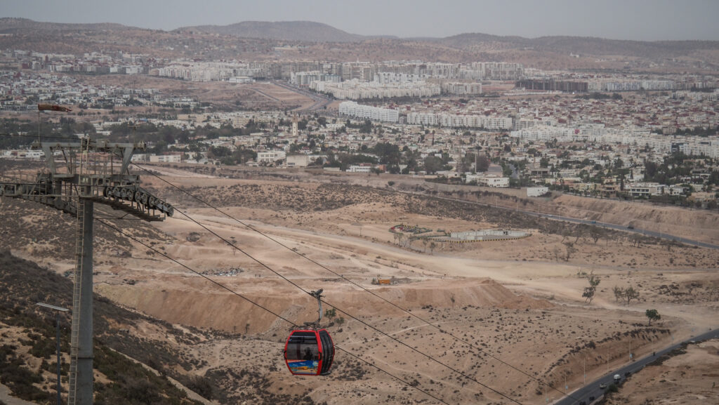
VinWonders
There is a cable car from the mainland to Vinpearl Resort, where you can spend a few hours or even the whole day in an amusement park with rides for all ages. There is also a section with animals, gardens, and a huge ferry wheel.
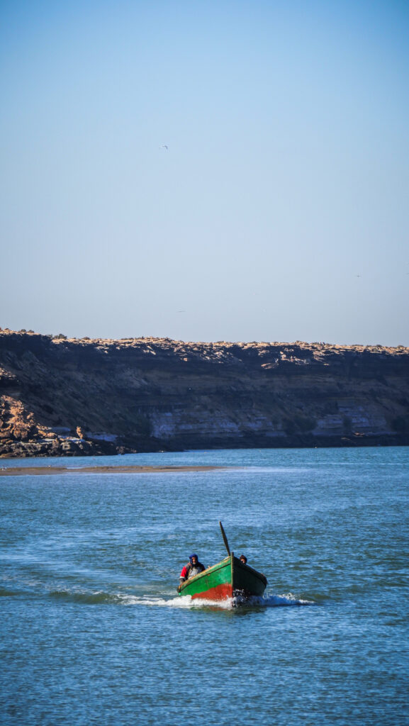
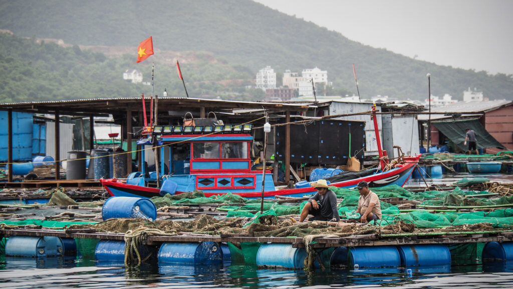
Island hopping
There are plenty of offshore islands around Nha Trang which are known for the relatively clear water surrounding them and snorkeling opportunities. Trips to these islands can be arranged by every hotel and travel company in town. Just ask at the reception. Make sure that you choose the right tour though. You don’t want to end up on a booze cruise aimed solely at the backpacker market if you are looking for a calm and relaxing day.
Water sports
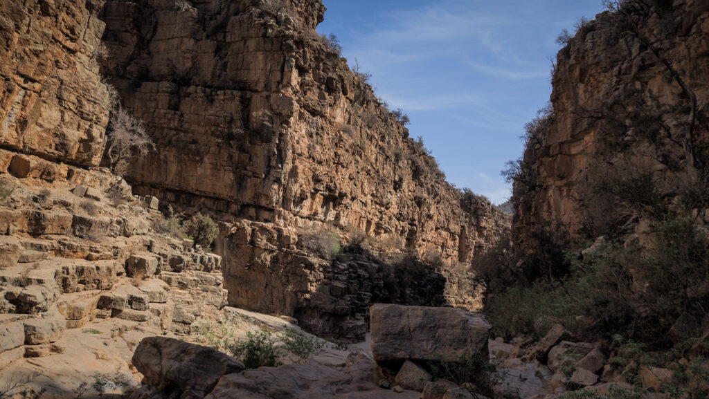
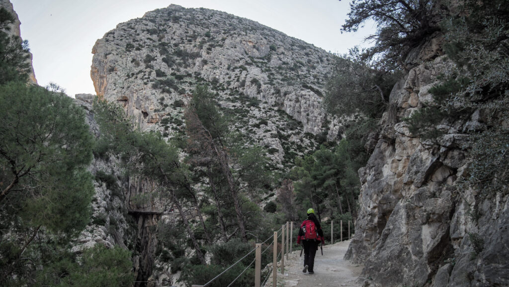
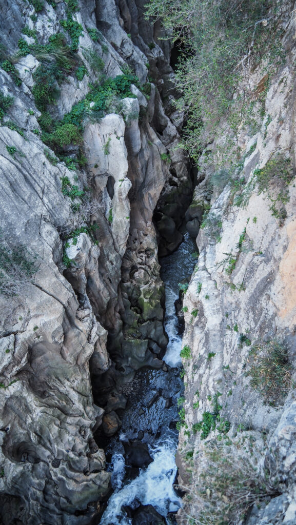
Besides island hopping and snorkelling, the Nha Trang area is a paradise for water enthusiasts and offers diving, surfing, wakeboarding, parasailing and white-water rafting adventures.
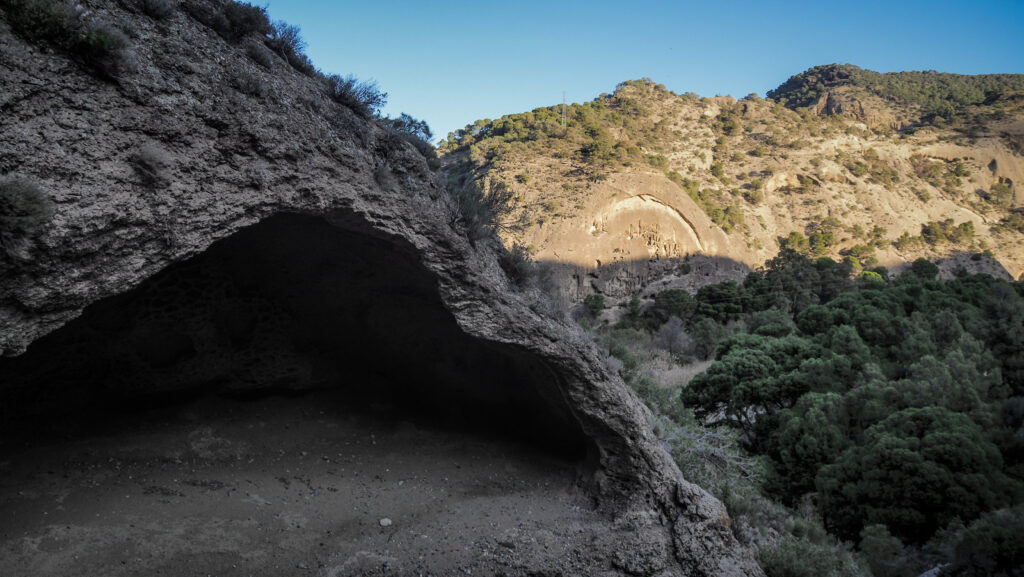
Diving sites are concentrated around Hon Mun Island and some of the best-known are Moray Beach, Coral Garden, Madonna Rock, Light House and Green Canyon.
What to avoid?
Tri Nguyen Aquarium
The building itself is unique – in the form of a pirate ship. Unfortunately, it is extremely poorly maintained and kitschy. I can honestly call it an animal prison and I strongly suggest not coming here.