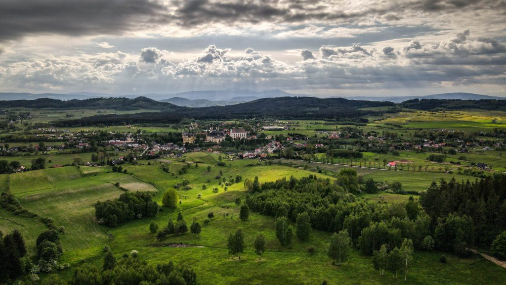
Around the king of the Alps
The Tour du Mont Blanc commonly knows as TMB is one of the most popular long-distance walks in Europe. Even though the track doesn’t go anywhere close to the summit, everyone knows Mont Blanc – the highest mountain of Western Europe (4.808 m a.s.l.) and its name attracts thousands of hikers every year. The first successful ascent by Jacques Balmat and Michael Paccard took place on August 8th 1786, causing a significant boom in mountaineering.
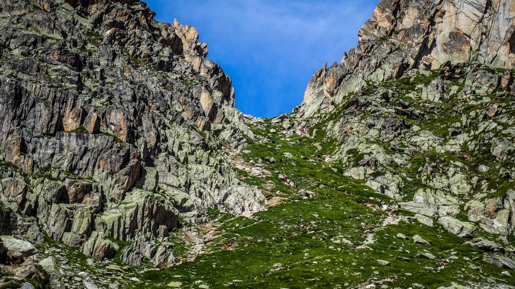
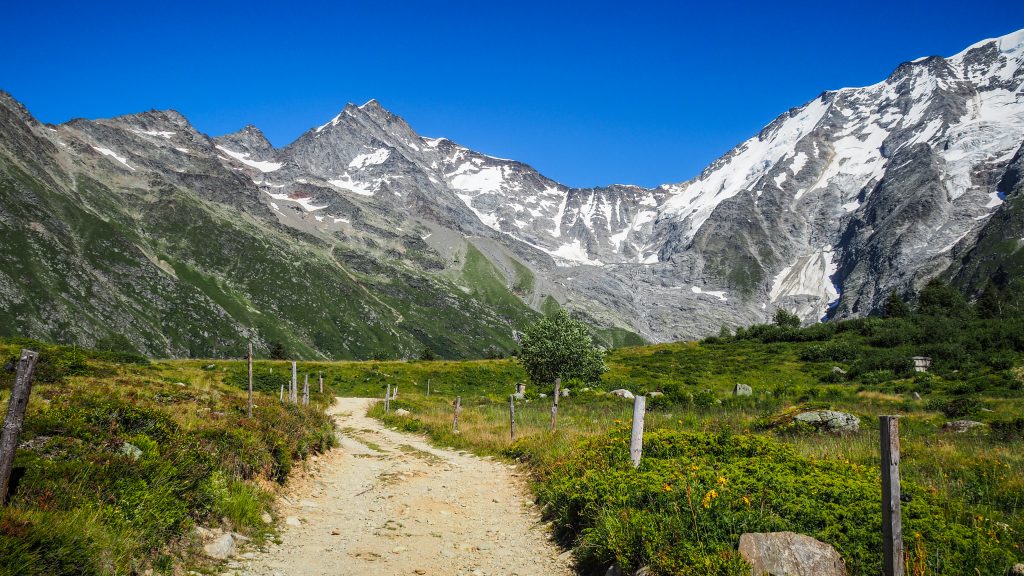
TMB goes around the massif, covering a distance of roughly 165 kilometres passing through parts of Switzerland, Italy and France. Depending on the path you take, it’s wise to prepare your legs for a little bit more. In my case it was over 180 kilometres, having completed several variants.
Following the classic route, the highest point is 2.537 m a.s.l. at the Grand Col Ferret which is also a border between Italy and Switzerland. However, some variants can get you higher than that. For example, Col des Fours or Fenetre d’Arpette rewards hikers with the panoramic views from 2.665 m a.s.l.
TMB was in my mind since I completed a few overnight hikes in New Zealand. Long-distance hiking totally got me and the plans for 2020 were modified several times. First, it was supposed to be Camino de Santiago (French Way), but in the end, it was the Main Sudetes Trail in Poland (440 km). After that, it was supposed to be Camino again but the number of COVID-19 infections increased in Spain once more (third time lucky?). Then, my eyes turned to the Alps.
Tour Monte Rosa, Tour Matterhorn and the Haute Route were all on the list of possible hikes to do. Having no previous experience in the region, I chose Tour du Mont Blanc as the most popular one and probably the easiest of those.
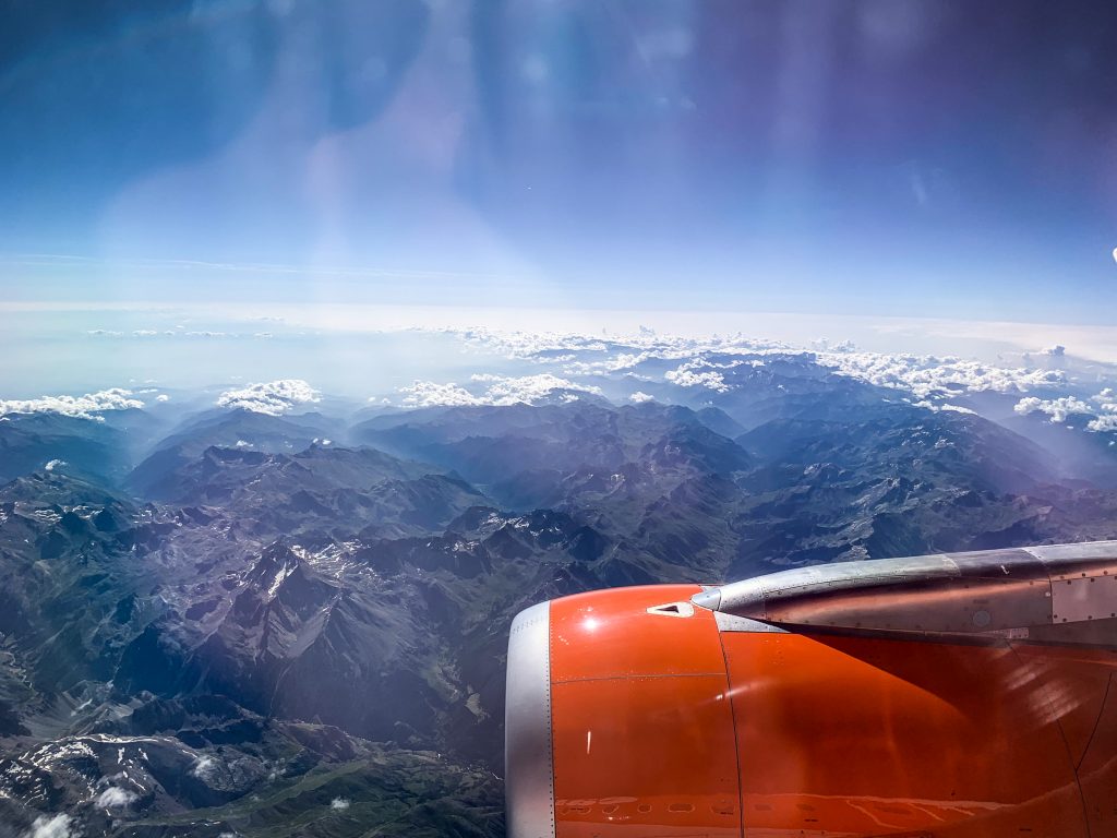
It was time to book a one-way flight to Geneve. I didn’t know what to do after TMB, therefore it was better not to stick to a specific return date. I was sure there would enough time to think about the next steps while hiking or resting in a tent!
When to go
The best period (and the busiest) to hike TMB is definitely summer, more precisely July – August. June and September as shoulder months could be an option too, but the weather will definitely be more unpredictable and snow can be experienced at higher elevations.
Clockwise or Anti-clockwise
I chose to follow anti-clockwise direction, starting and finishing in Les Houches. It seems to be a way more popular option. However, after completing the track, I don’t think that going clockwise would make any significant difference.
By going with the flow, it’s easier to make friends on the way as you see the same faces every day. On the other hand, if walking anti-clockwise, the track will be mostly empty in the morning hours, until you meet groups of hikers going from the opposite direction. It gives you the chance to enjoy a more secluded atmosphere. I don’t mind having other hikes around me but everyone has their own vision of encounter with nature.
If hiking clockwise, it is advised to start elsewhere than Les Houches to avoid 1500m killer ascent to Le Brevent on the first day when your body may still not be used to heavy backpack and increased physical effort. From that stage I clearly remember never ending descent and how sorry I felt for all the people going up. Consider starting in Argentiere, Champex or Courmayeur instead.
Where to stay
There is plenty of options to choose from if you have deep pockets. Private accommodations, hotels, refuges. I took my tent and camped every single night. Obviously it was the most cost efficient way, but to be honest I can’t imagine going for such a hike without a tent. This makes the whole experience complete.
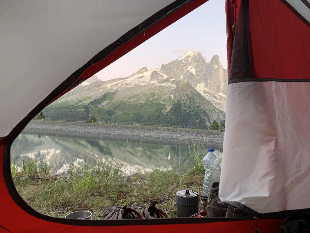
On the last day, I set my tent next to Refuge la Flegere and decided to treat myself with a proper dinner there. The food was nice, the chat with other hikers was nice but somehow I felt happy when I went back to my tent immediately after the meal. To find my own peace and rhythm.
Moreover, I didn’t have to bother at all about any bookings. I simply arrived at the campsite and had no issue with finding a spot. All the other options, especially refuges, require bookings well in advance, especially in COVID-19 times when the number of spots is even more limited.
The website www.montourdumontblanc.com makes planning very handy. You can choose your departure point at the specific date and it shows you the list of accommodations on the way, including walking distance. Really cool!
The places where I camped:
Chamonix – Camping Les Arroles
Les Contamines – Camping Le Pontet
Les Chapieux – free camping next to the information office
Courmayeur – Hobo Camping (use free bus service in Val Veni to get there)
Arp Nouva – Camping Grandes Jorasses (use free bus service in Val Ferret to get there)
La Fouly – Camping des Glaciers
Champex – Camping Les Rocailles
Trient – Camping La Peuty
Le Flegere – for free at the lake around Refuge le Flegere (ask the staff)
There are plenty of alternatives and I will mention some of them in the separate articles dedicated to specific sections.
Wild camping is discouraged or forbidden, depending on the country. I didn’t do it so I have nothing to say in this topic. In Italy, wild camping is allowed above 2,500 m a.s.l. In Switzerland, it’s forbidden when in France no one really knows what the rules are and it’s usually tolerated. Some people set the tent at sunset and leave at dawn. Do it at your own responsibility and needless to say, leave no trace.
What to pack
As I was camping all the way, most of my backpack was filled with equipment that made the experience comfortable and hassle-free:
- Tent – MSR Elixir 2-Person Lightweight Backpacking Tent
- Sleeping mat – Sea to Summit Comfort Light Insulated
- Sleeping bag – mine was with comfort level 0C, but I like to be warm. In summer the ones dedicated for around 10C should be fine.
- Pillow
- Cooking stove and pot – MSR Trail Mini Duo Cook Set
- Cup
- Plastic fork and spoon
- Sharp folding knife
- Lighter
- Headlight
Clothes:
- T-shirts (best to take 2, should be easy to dry)
- Long sleeve shirt
- Hoodie / sweater
- Rain jacket
- Long pants
- Shorts
- Hiking boots
- Socks and undies (2-3 pairs)
- Sandals (I have the ones from KEEN and they were great to get around the camps)
- Flip flops
Other:
- Ultralight towel
- Hiking poles (extremely useful!)
- Painkillers
- Toiletries
- Wet tissues
- Plasters for blisters (Compeed brand is great)
- Sunglasses
- Suncream
Optional:
- Thermal underwear – it wasn’t really that cold to use it, but if your sleeping bag is not too thick, it could be a good option to wear for sleeping.
- Buff – if it gets windy, you may put it on your head or neck. I used it also to wipe sweat from my forehead 🙂
- Water filter – never used on TMB but good to have just in case.
I did laundry almost every day and on the next day my backpack looked like a Christmas tree with socks and undies as decorations. It was the only way to dry them though.
When it comes to food, you will be able to refill your stocks along the way so no need to add more weight into your backpack. I usually had food for 2 days, in case of an emergency stop due to bad weather or sickness.
Here are some examples of what I usually eat on the track:
Breakfast:
- Bread with jam, honey or peanut butter
- Instant cereal with fruits or porridge
- Biscuits with jam
- Powdered milk
- Banana
- Tea or coffee
Lunch:
- Bread
- Cheese
- Salami
- Humous
- Ready to eat sausages
- Instant soup
- Tea or coffee
Dinner:
- Instant rice or pasta
- Tinned tuna or chicken
- Instant soup
- Freeze-dried meal
- Tea or coffee
Snacks:
- Chocolate
- Muesli bars
- Biscuits
- Nuts
How to get there
Most hikers fly to Geneve and take a bus to Chamonix, so did I. Flying directly from the holidays in Spain, I didn’t have sufficient time to look for the most affordable option and I booked a shuttle bus from Mountain Drop-Offs. It cost me 40 EUR and I was the only passenger on board. It’s very easy to find their box at the airport and over an hour later I was already at the campsite in Chamonix.
On the way back, I used the service of BlaBlaBus which took a bit longer but was significantly cheaper (around 22-25 EUR).
Travel by train is possible as well but it’s more complicated and usually requires catching at least two connections.
Budget
In total I spent 300 EUR, starting from day 0 after arrival to Chamonix when I bought a gas bottle, lighter, shoelaces and some food. Flight ticket and transportation from Geneve airport need to be added on top of that.
Campings were the most expensive in Switzerland: ~17-22 EUR per night. The exception was La Peuty for only 6 EUR, but the facilities were very basic. In France setting up a tent costs usually between 10-12 EUR and in Italy 12-15 EUR per night.
Everything else was mostly food. Spaghetti bolognese, pizza, panini, burger and even McDonald’s once back to Chamonix 🙂 Even though I mostly stocked in supermarkets and cook by myself, all of these meals are tempting and if you are tired, it isn’t easy to resist.
My itinerary:
Finishing the track took me 9 days, tackling a lot of variants which made the route a bit more difficult than the standard one. Some people do it faster, some people do it slower. It doesn’t really matter. Take your time, don’t rush and enjoy the views. I planned to take a day off in case of pouring rain, but it never came so every day I slept in different location 🙂 Being so lucky, there was no point in wasting such perfect weather conditions!
Day 1: Les Houches – Les Contamines (via Refuge de Miage)
Day 2: Les Contamines – Les Chapieux
Day 3: Les Chapieux – Courmayeur (via Refugio Maison Vieille)
Day 4: Courmayeur – Arp Nouva (via Col Sapin)
Day 5: Arp Nouva – La Fouly
Day 6: La Fouly – Champex
Day 7: Champex – Trient (via Fenettre d’Arpette)
Day 8: Trient – La Flegere (via Lac Blanc)
Day 9: La Flegere – Les Houches

Final thoughts
Tour du Mont Blanc is absolutely amazing. In fact, it’s the first hike that I could imagine doing one more time straight away. Planning the stages, taking in all the sights and arriving at the campsite being filled with satisfaction. Setting up the tent, preparing dinner on a gas stove, far away from daily routine. Knowing that the next day will bring more good vibes.
It’s hard to describe the feeling on the last day. Being very tired, I was walking the final kilometres to Les Houches with a wide smile on my face, thinking of all the preparation, flight to Geneve, bus to Chamonix and completing all the stages. Adventure came to the end, but what an adventure it was!
If you are a hiking enthusiast and were thinking of doing a long-distance hike in the Alps, just do it. Do it now, not later. To be honest, I am always against postponing personal plans for later, as later can never come. The memories will enrich and stay with you forever.
Do you have questions? Drop a comment below!
: Zygmuntówka Hut – Silver Mountain")

: Andrzejówka Hut – Zygmuntówka Hut")


: Krzeszów – Andrzejówka Hut")

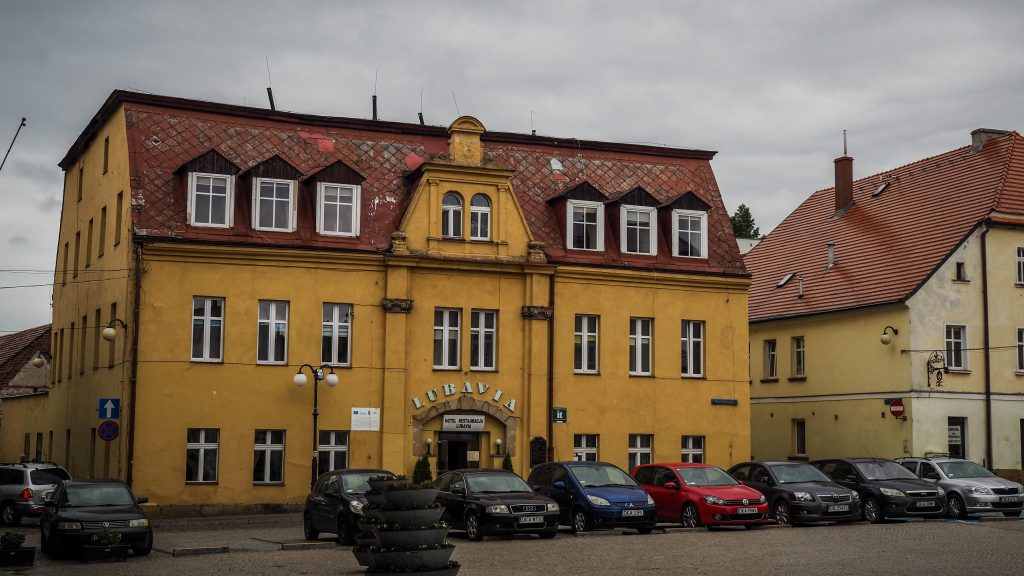
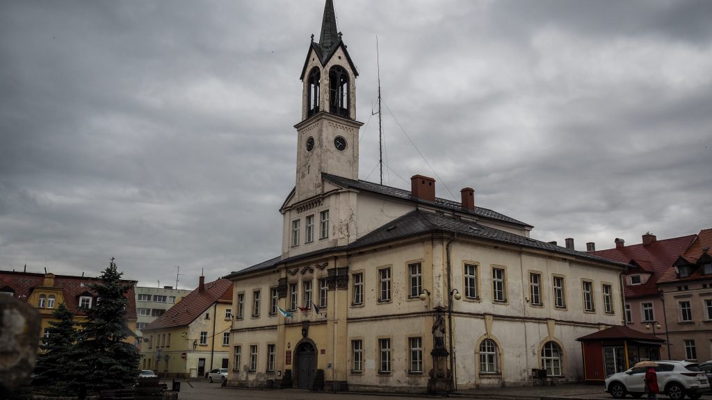
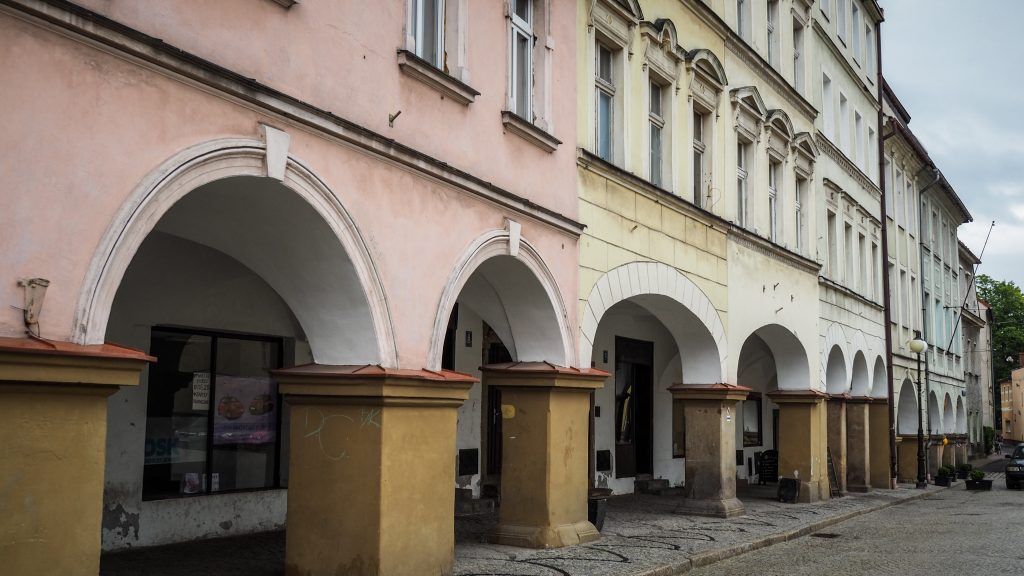
: Lubawka – Krzeszów")
: Średnica Pass – Lubawka")


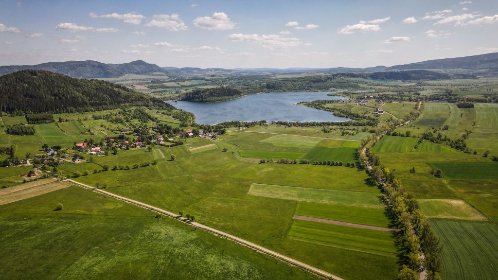

: Karpacz – Średnica Pass")