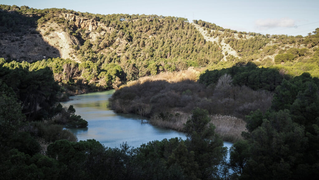
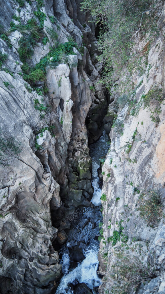
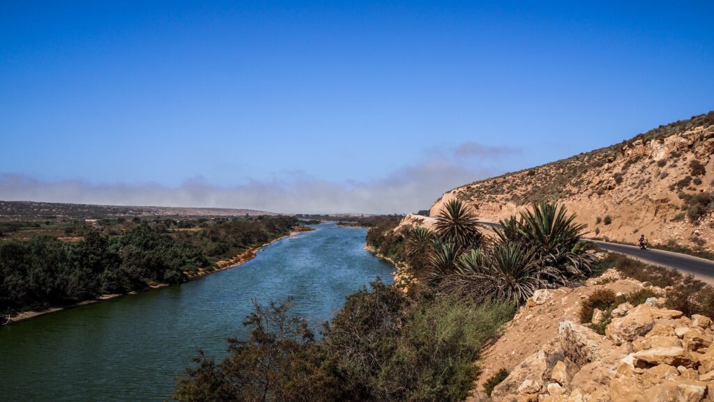
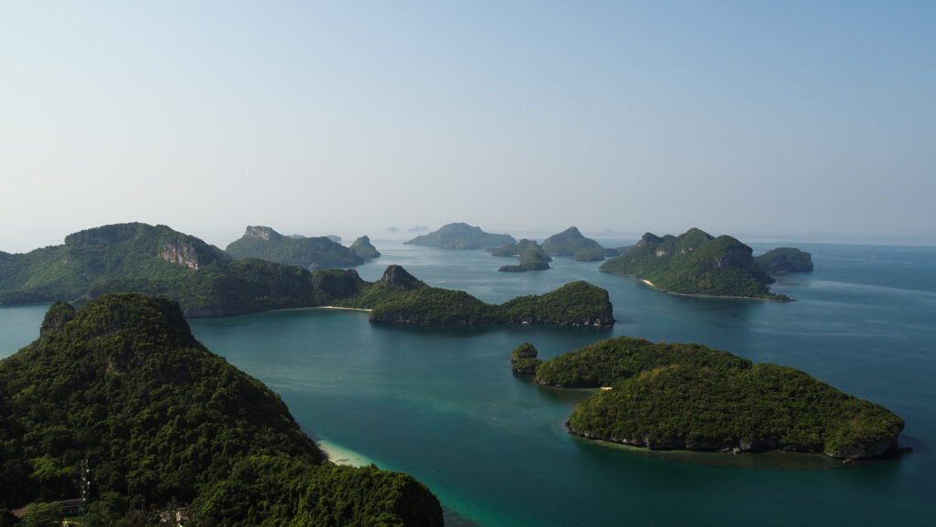
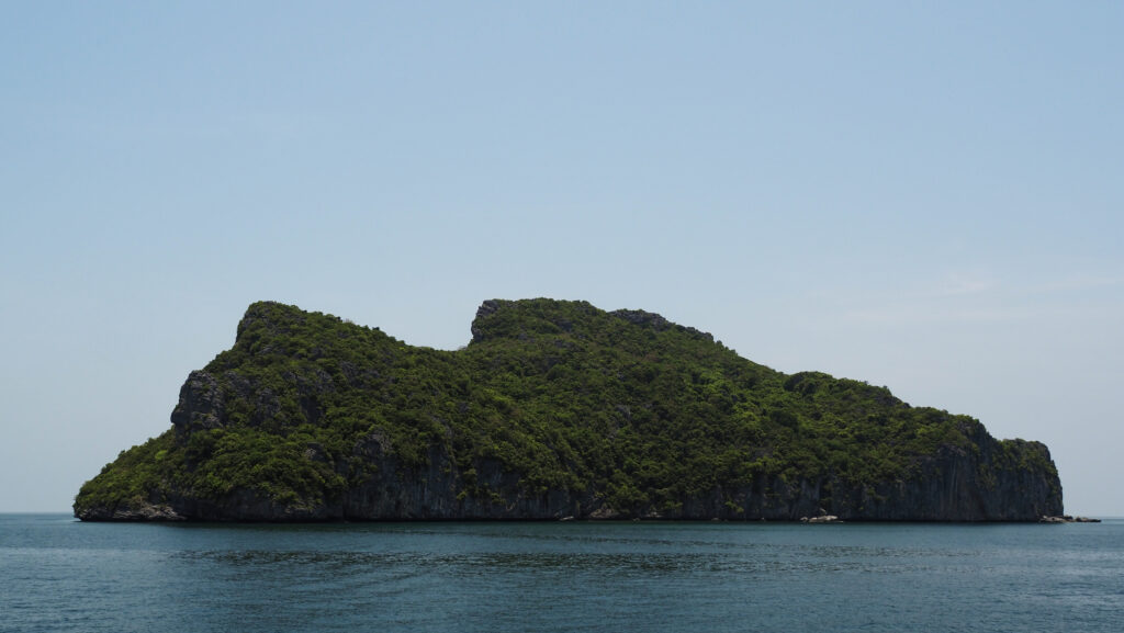
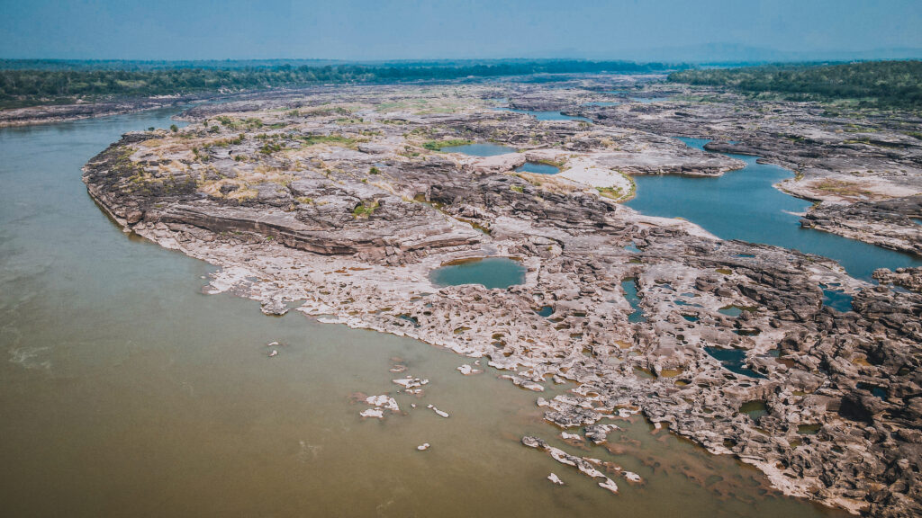
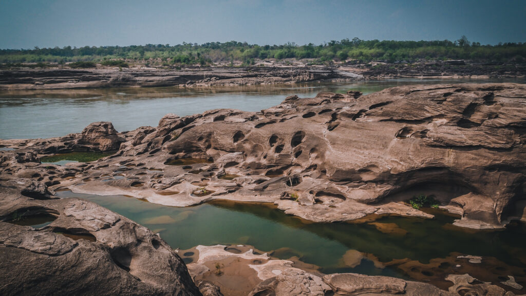
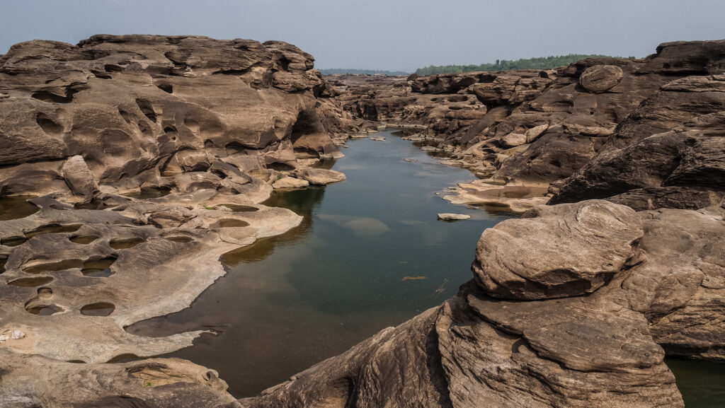
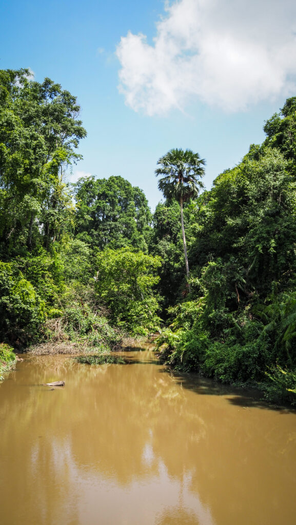
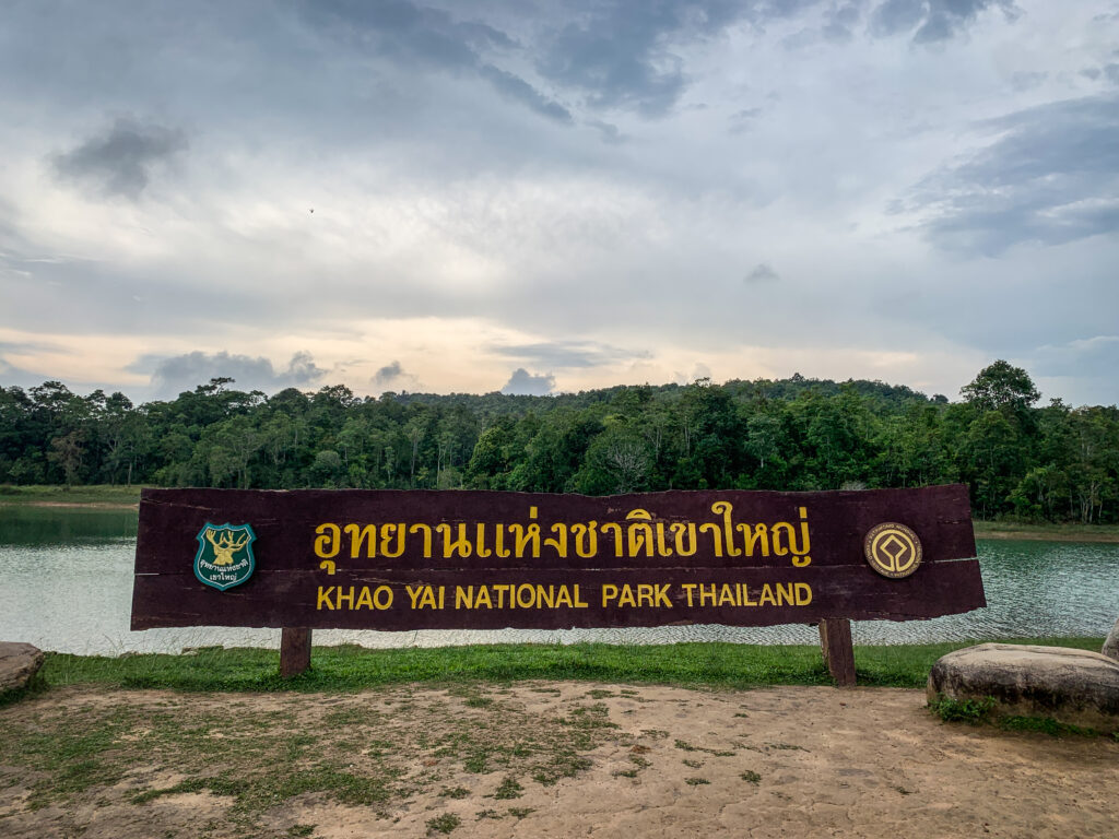
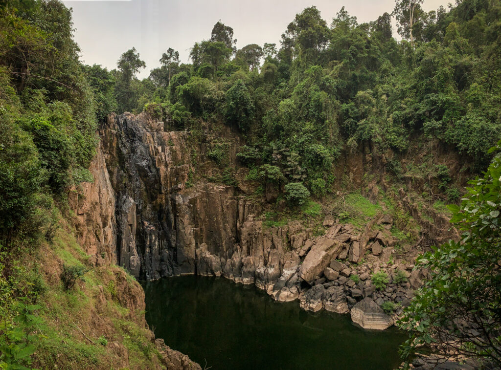
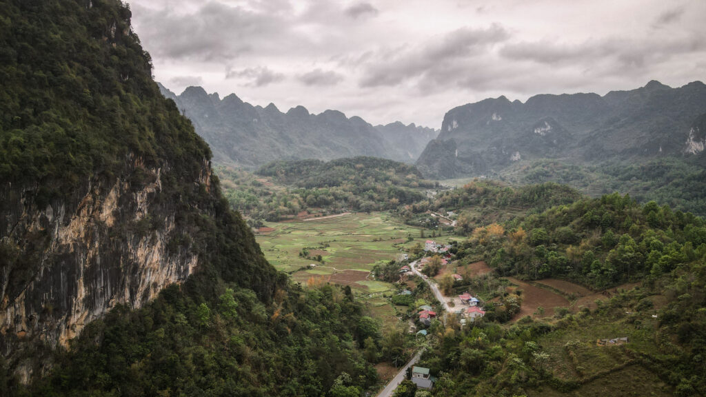
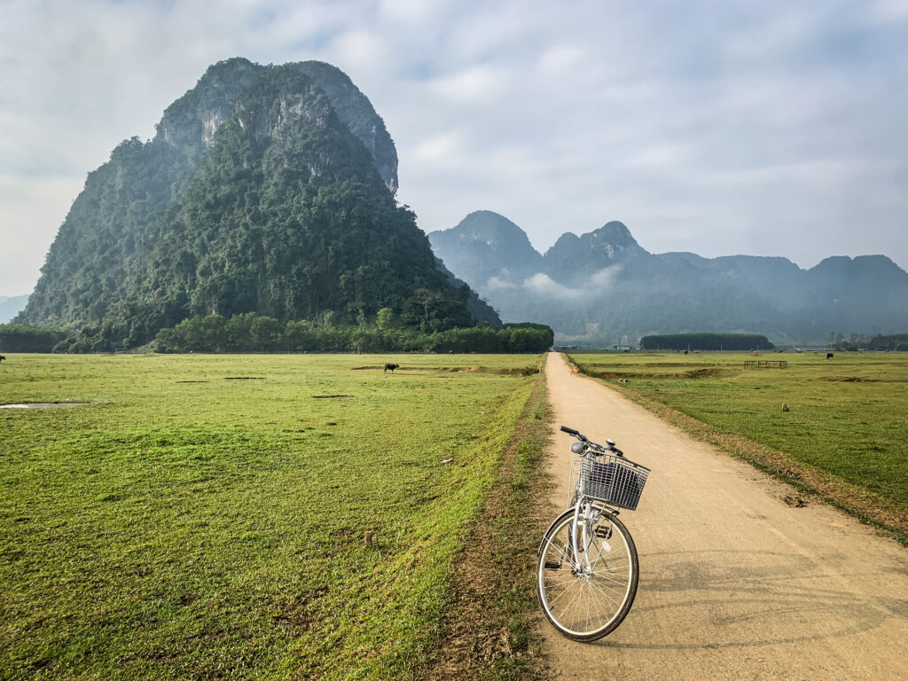
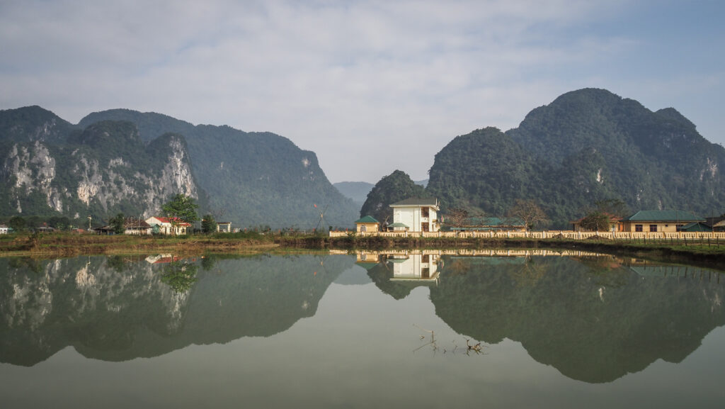
The Kinabatangan River, located in Sabah, Malaysian Borneo, is the second longest river in Malaysia, stretching approximately 560 kilometres from its headwaters in the mountains to its mouth at the Sulu Sea. This river is renowned for its incredible biodiversity and rich ecosystems, making it a prime destination for nature lovers and wildlife enthusiasts.
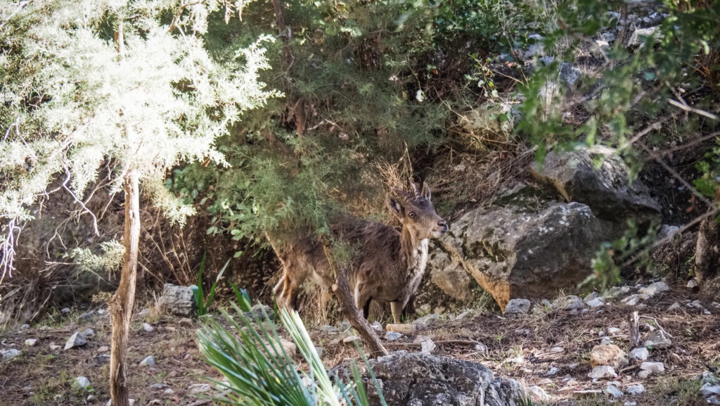
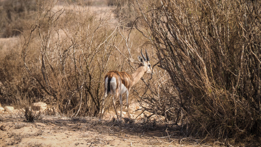
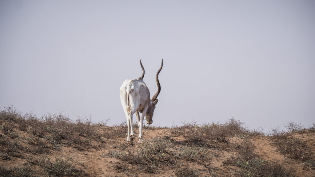
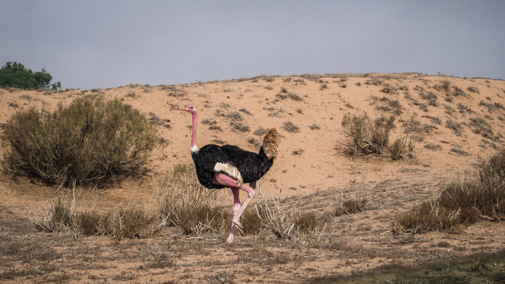
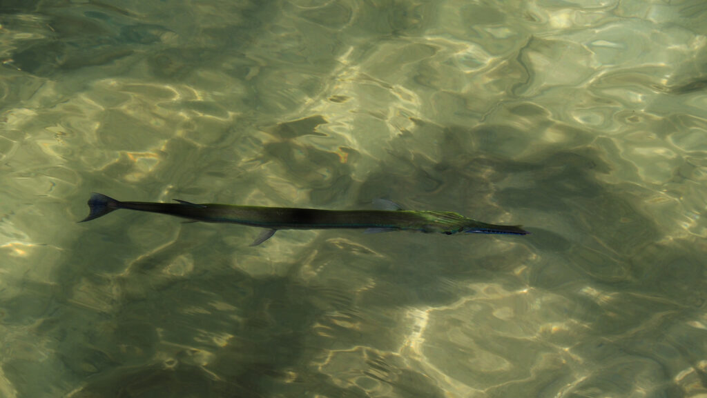
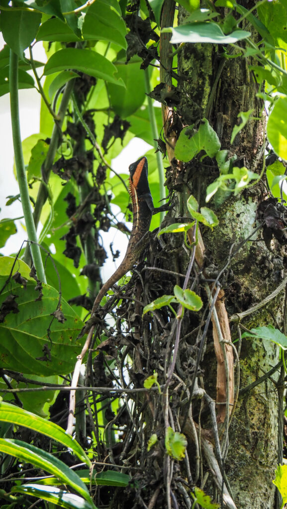
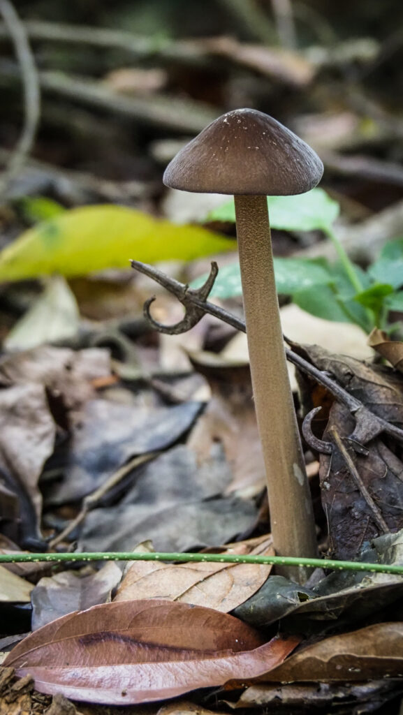
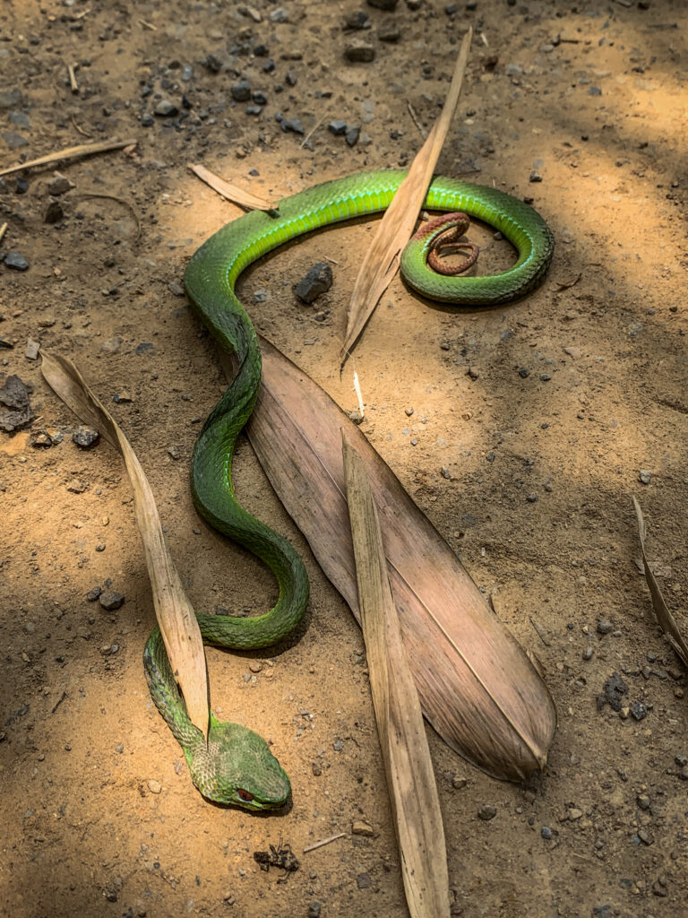
The river and its surrounding floodplain are home to a wide array of wildlife, including some of Borneo’s most iconic species such as orangutans, pygmy elephants, proboscis monkeys, and a diverse range of bird species. The region also supports various reptiles, amphibians, and plant species, contributing to its status as a biodiversity hotspot.
How to get to Kinabatangan River?
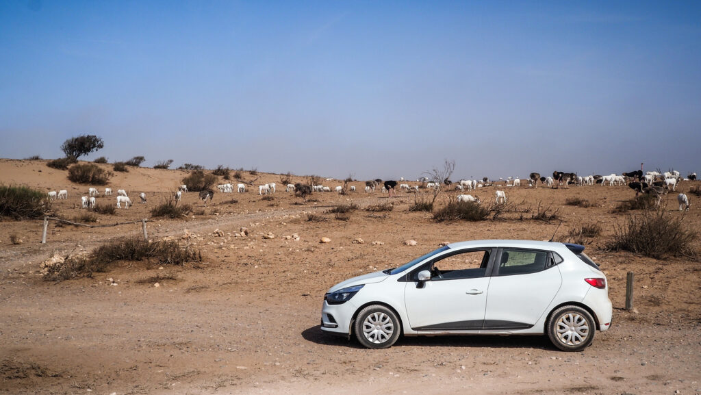
Getting to Kinabatangan typically involves travelling to Sandakan, a city in the Malaysian state of Sabah on the island of Borneo. From there, most people decide to join an organized tour including accommodation, food and activities around the river. The recommended duration is 3 days and 2 nights.
By Air
Several airlines operate flights to Sandakan, including Malaysia Airlines and AirAsia, with direct flights available from Kota Kinabalu (the capital of Sabah) and Kuala Lumpur (the capital of Malaysia).
By Land
There are bus services from Kota Kinabalu to Sandakan passing through Kundasang and Sepilok. The journey takes about 6-8 hours.
For ticket booking, visit Easybook or 12Go.Asia


When to go?
The best time to visit the Kinabatangan River is during the dry season, which typically falls between March and October. The weather during these months is generally more favourable with less rainfall, making it easier to explore the rainforest (the trails are less muddy) and enjoy outdoor activities. The animals are also more likely to come to the river to drink water. This increases the chances of seeing orangutans, pygmy elephants, proboscis monkeys, and a variety of bird species.
How long to stay?
Most tour operators recommend the package of 3 days and 2 nights and I also think it’s an optimal option. One day shorter would feel like not enough and you will be missing out on some activities such as jungle walks but I also didn’t feel like I would like to extend it for another night.
The tour with Uncle Tan Wildlife Adventures
There is a variety of operators offering similar packages and itineraries but what is different is the quality of accommodation and food. I selected the offer of Uncle Tan Wildlife Adventures (3D 2N) and will describe my experiences and impressions with them. It isn’t a resort with nice bungalows and all that, but this is exactly why I made my choice to stay there.

Prices
The price for the standard 3D/2N trip is 572.40 RM per person. Extended stay is possible at the price of 172.80 RM per person per extra day.
The price for the 2D/1N trip is 399.60 RM per person.
Children who are 7 years old and below are given discounted prices:
The 3D/2N trip children’s price is 286.20 RM.
The 2D/1N trip children’s price is 199.80 RM.
Children who are 2 years old and below stay for free.
The above-mentioned prices are from May 2024. Please always double-check them with Uncle Tan Wildlife Adventures directly.

Transport
The meeting point is at the Orangutan Centre in Sepilok and the price covers transportation by van to and from the Kinabatangan River, transportation by boat to and from the camp and all river Safaris.
You need to get on your own to Sepilok and pay extra in case you don’t come back there after the tour but continue your travel towards Semporna.
Accommodation
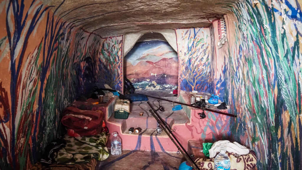
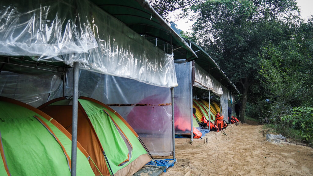
At Camp, lodging is provided in elevated huts. A lightweight mattress and mosquito net will be provided. Every hut is shared by a few people so don’t expect privacy.

Food
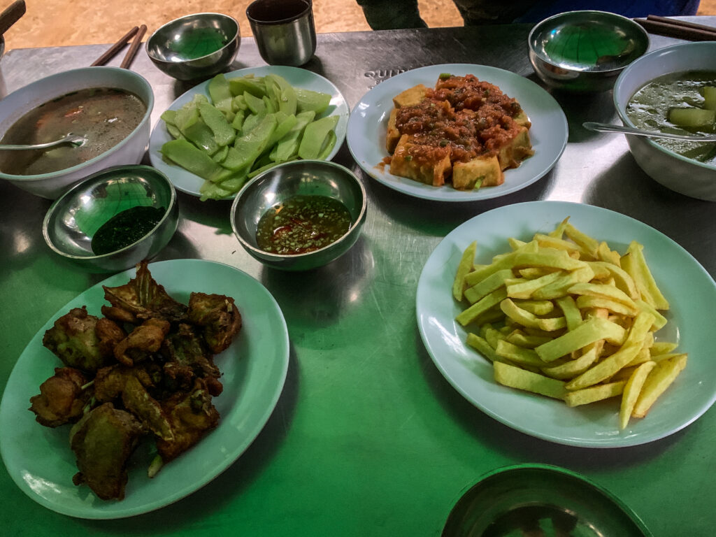
All meals are cooked on-site and included in the tour package. These are served as a buffet. Tea and coffee are available all day and bottled drinking water and fizzy drinks are sold by their staff co-operative.
Bathing and toilet
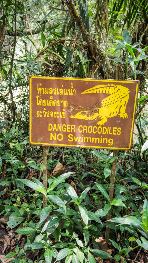
Water for bathing and washing is pumped from the river to the bathhouse. Swimming in the river is not possible due to the presence of crocodiles. There are two toilets provided in two different areas of the camp and you can get toilet paper from the reception. Don’t forget to bring it back afterwards as otherwise it will be stolen by monkeys.
Electricity and mobile signal
They use a small generator for lighting and charging of batteries from 7.00 PM till midnight. I had a Digi SIM card in my smartphone and the signal was very weak in the common hut and slightly better closer to the riverbank.
3 days 2 nights itinerary
Day One
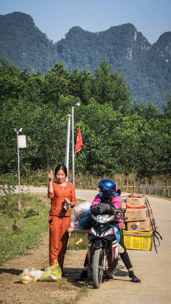
I was met near the Orangutan Center by the representative of the tour operator at 1 PM. Soon, more participants arrived and we were briefed about the plan for the rest of the day.
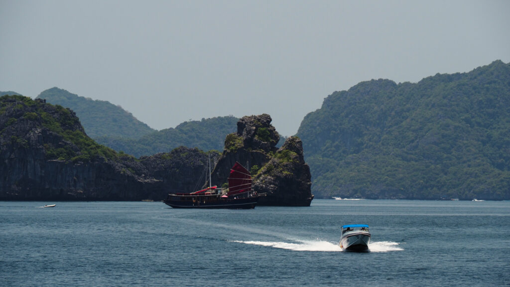
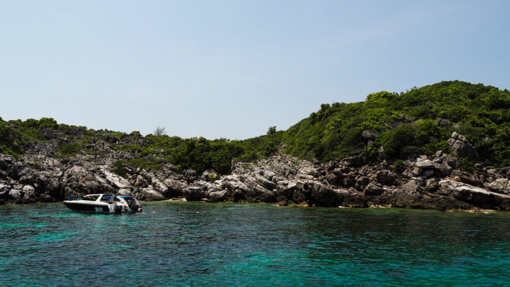
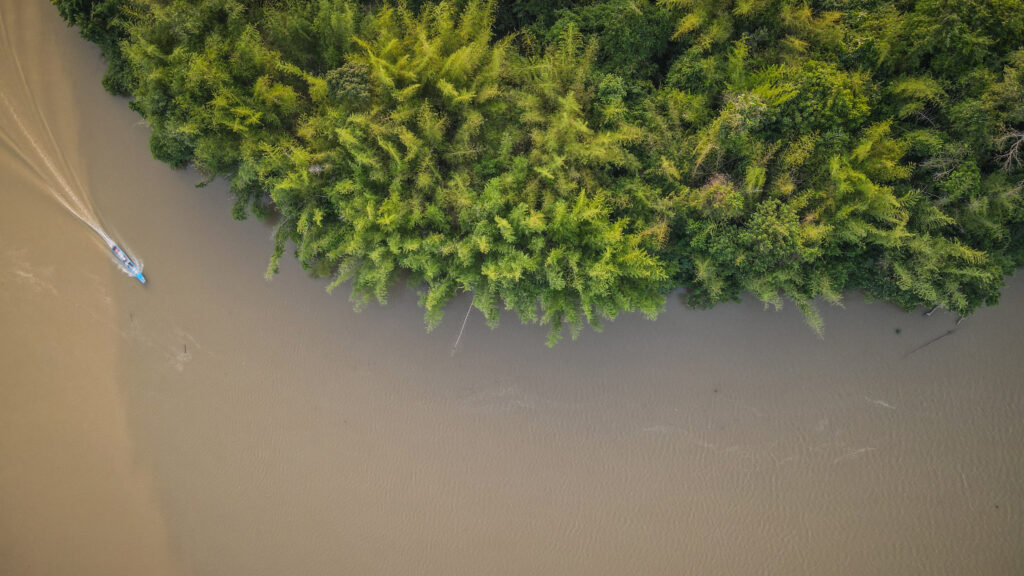
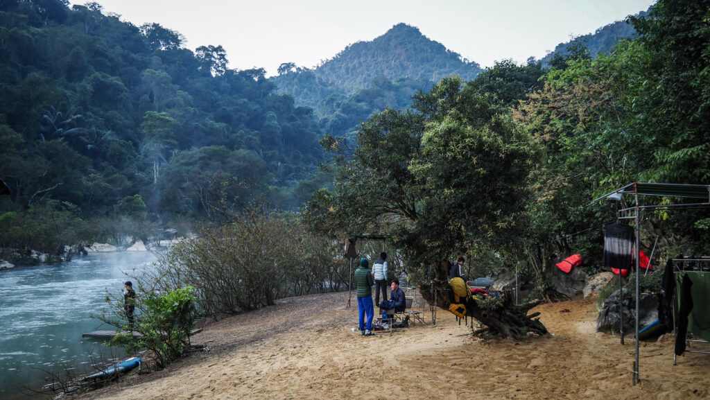
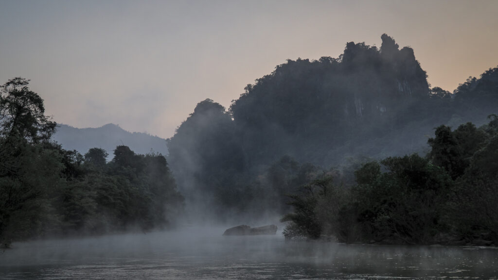
We were taken in a minibus to the Bukit Garam jetty at the Kinabatangan River from where we continued the journey to the camp by boat. We could spot quite many crocodiles on the way. Upon arrival at about 5 PM, we were greeted with tea and coffee and then allocated the open-air huts, where we could find only mattresses and mosquito nets. Simple, but enough 🙂
The dinner was served in the form of a buffet at 8 PM but before that, we met the rest of the staff working at the camp. They explained to us the detailed plan for the remaining time at the camp.
On that day we had one more attraction left: a night river safari which started about 9 PM. We didn’t see much though, just some birds and owls.
The night was really hot and I was sweating even lying down in the open-air hut.


Day Two
The day started at 6:30 AM with an early morning safari. Tea and coffee were available in the common area. We boarded the boats and took the same route as the night before. Again we didn’t see that much. Mostly monkeys.
Then, we came back to have breakfast and shortly after we played some volleyball. It was really fun even though the humidity was insane!
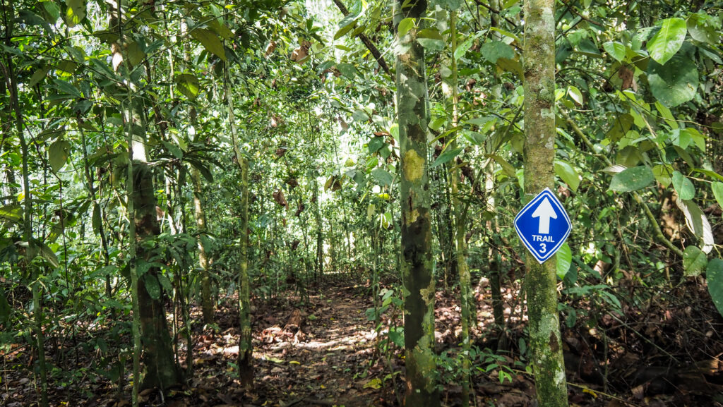
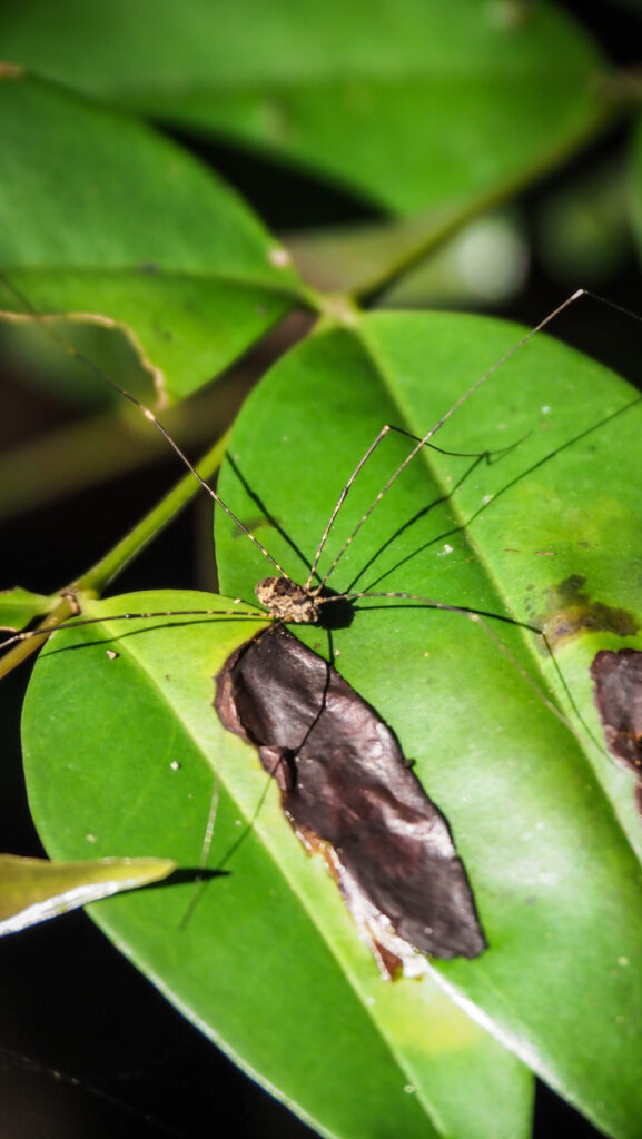
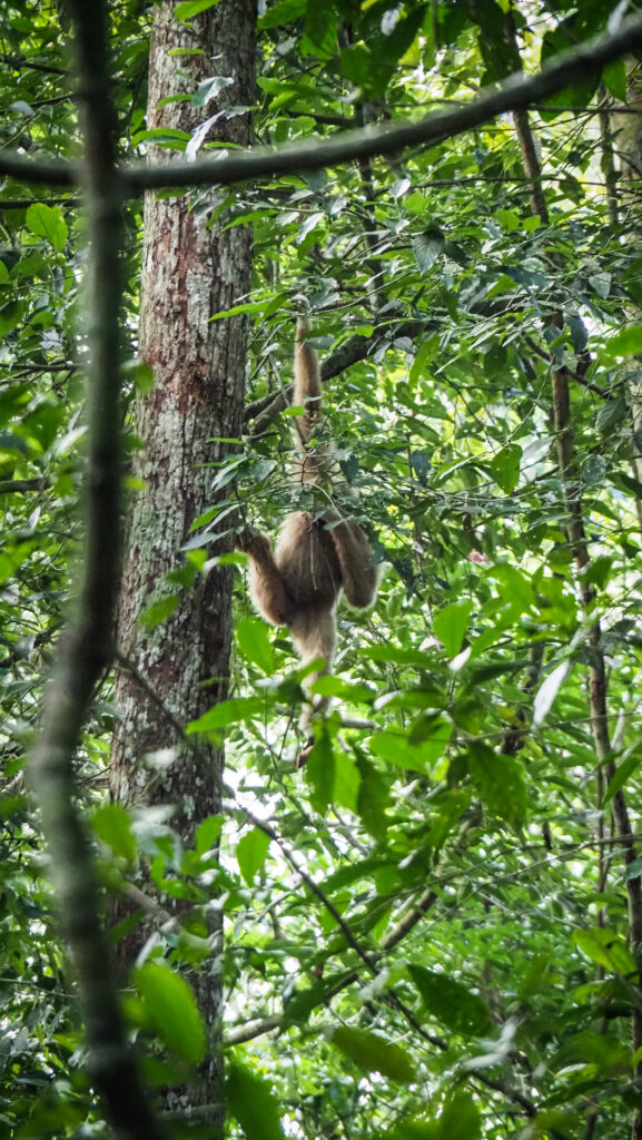
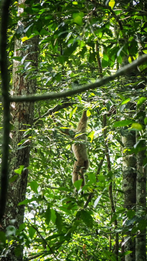
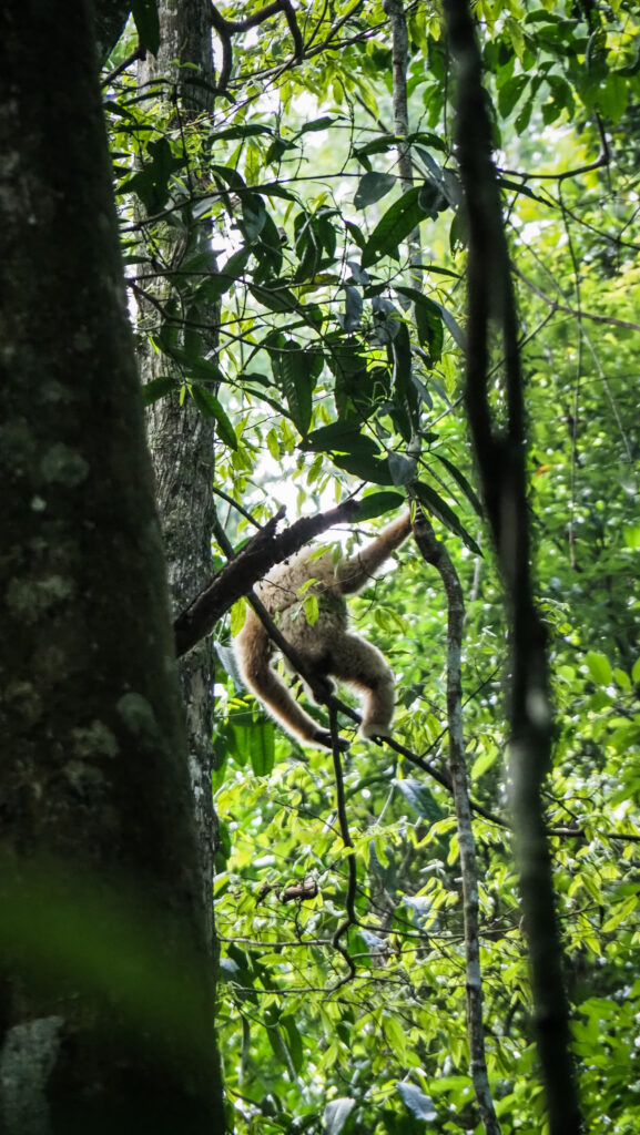
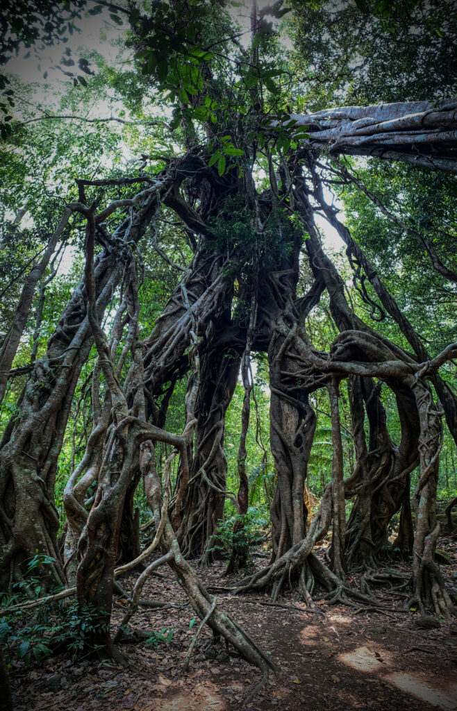
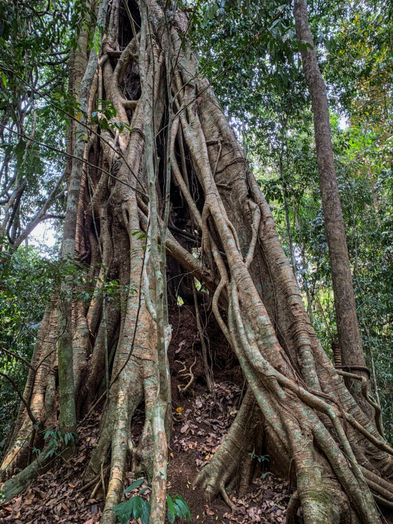
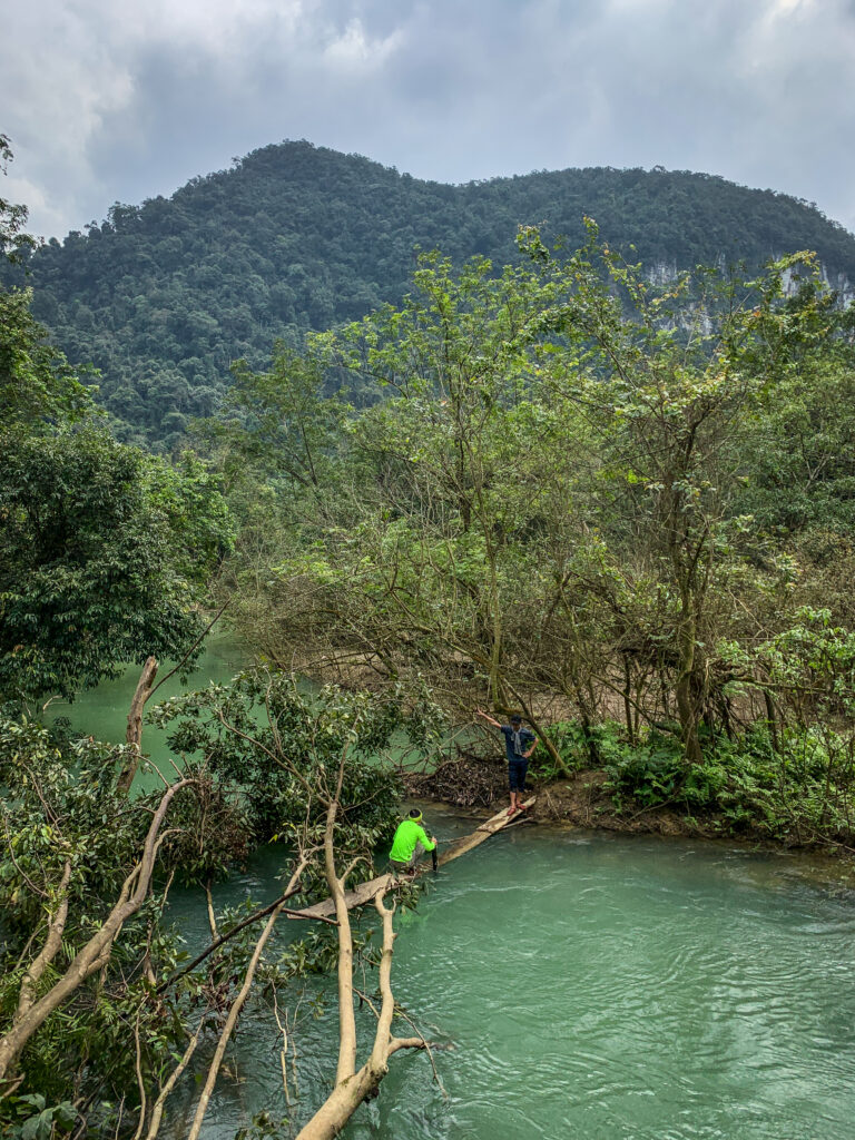
After that, it was a time for jungle walk. It was a really short one but luckily we were able to see one orangutan sitting high on the tree. Another cool thing to see was the spider which blended perfectly well with the color of the tree that it was sitting on.


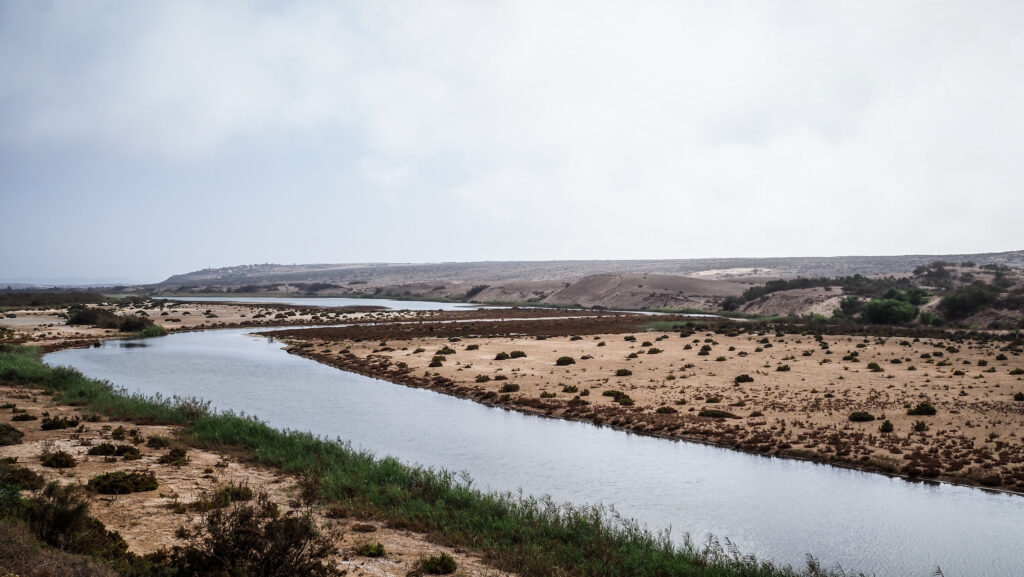
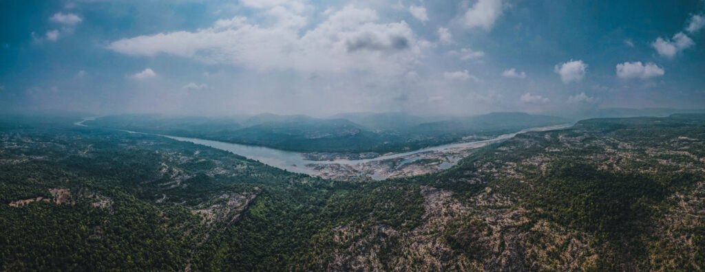
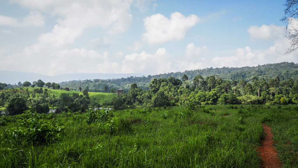
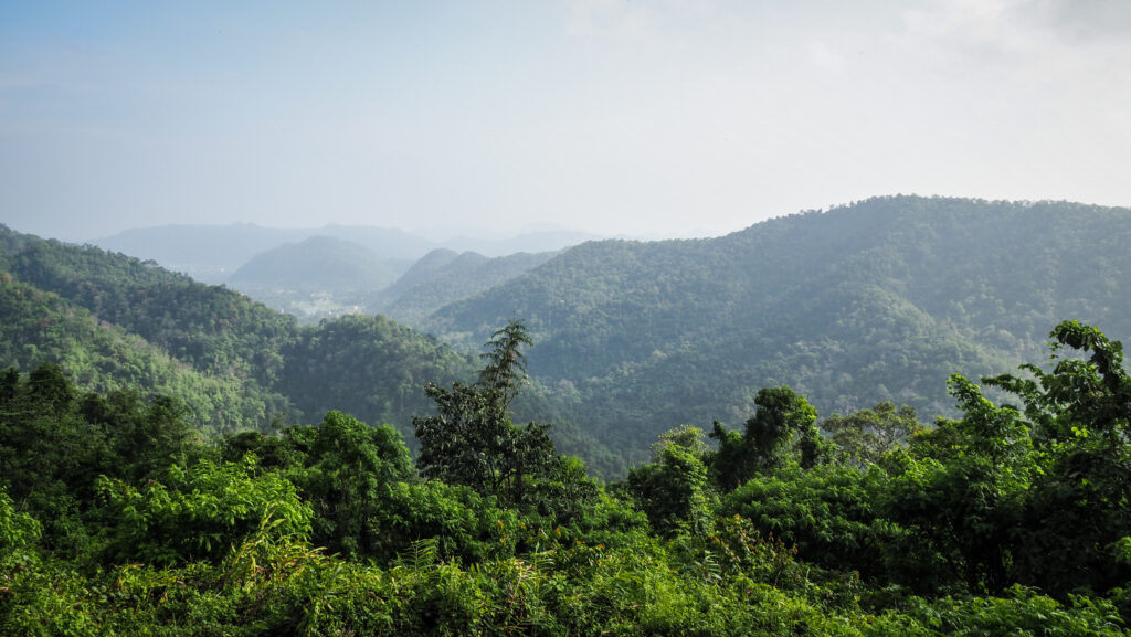
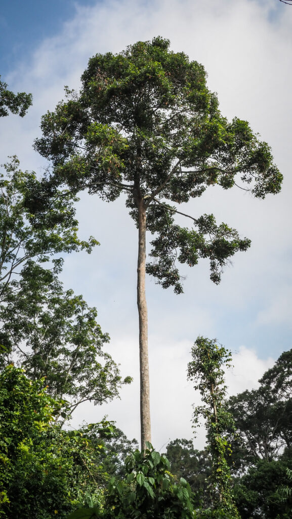
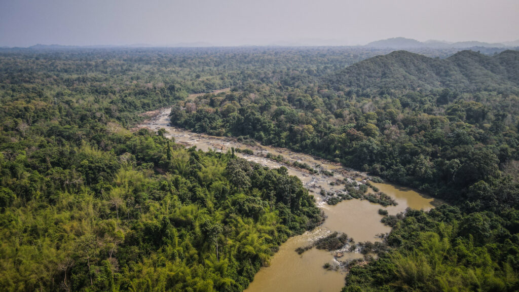
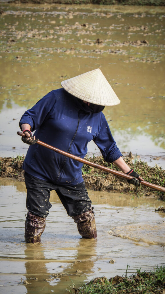
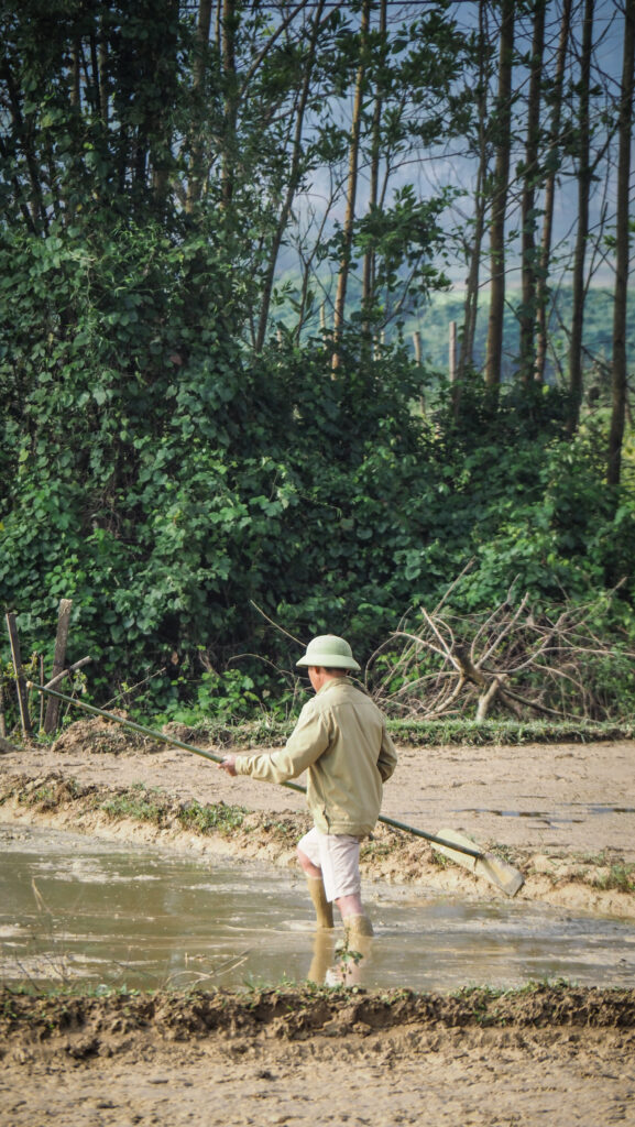
Once the walk was finished, I flew a drone and discovered a very sad view. The area around the river is one huge palm oil plantation. I wasn’t surprised that we couldn’t see that much wildlife and that we always went on river safari to the same place. It was just the only relatively forested place left.

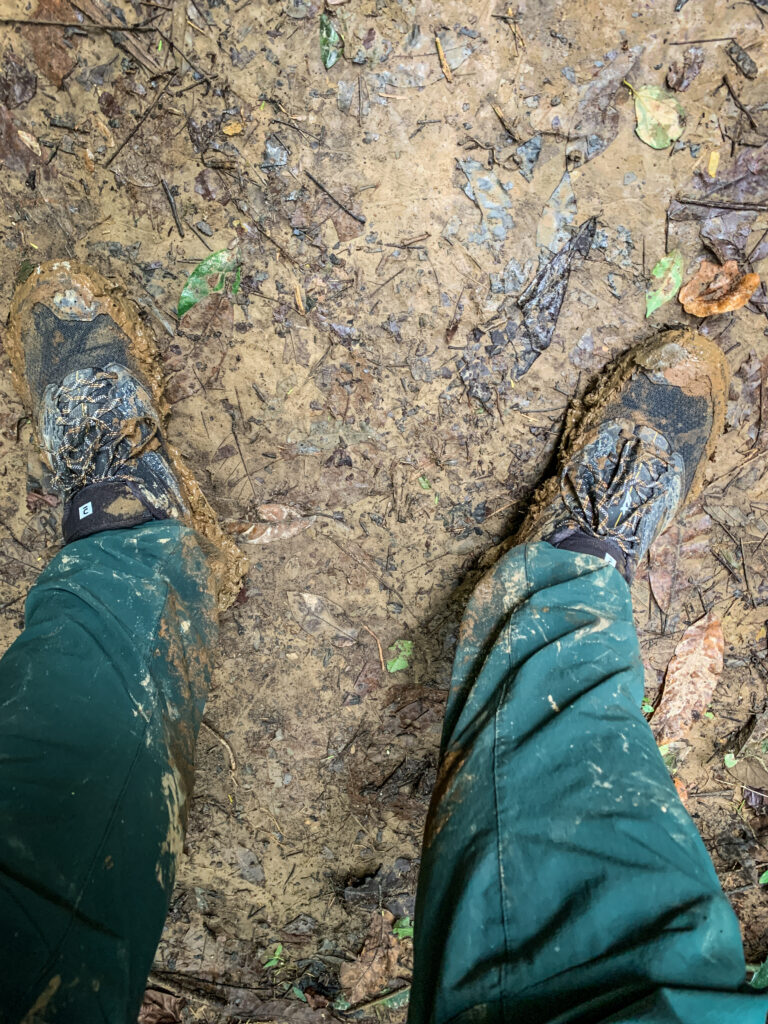
After lunch, we had a few hours of free time but we were also offered to join an extra activity: a fishing trip (paid extra: 60 RM per person). I decided to go for it as I don’t like sitting in one place doing nothing and I didn’t have much experience with fishing so wanted to learn something new. Unfortunately, we were caught by some rain but that is how it is in Borneo. You never know when you will get wet 🙂
I managed to catch 4 or 5 small catfish, but my fishing rod got stuck many times in shallow waters. Anyway, I was happy to join this activity and would recommend you to do the same. I will for sure repeat fishing one day!
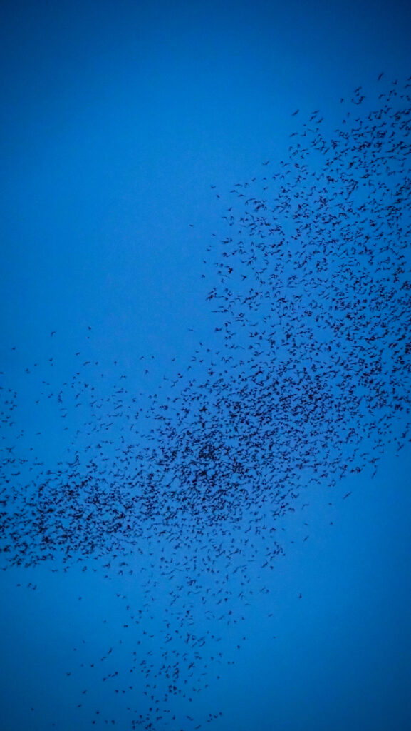
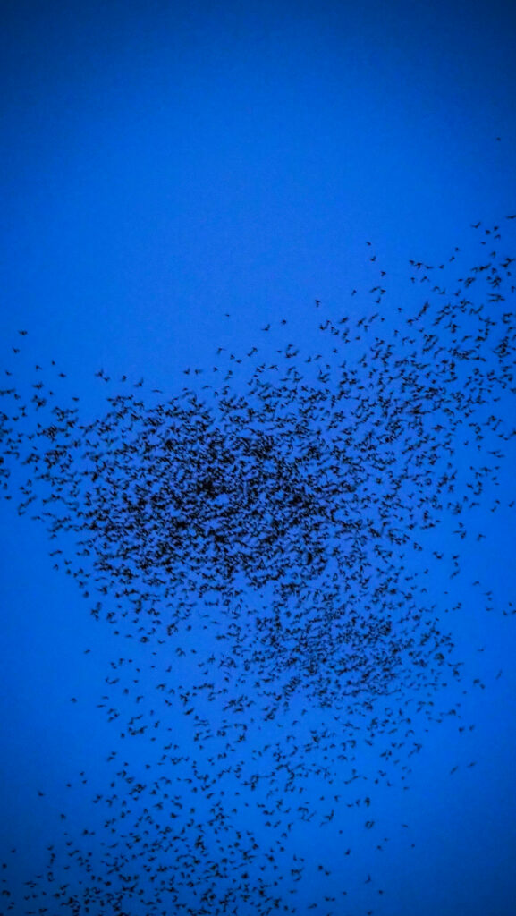
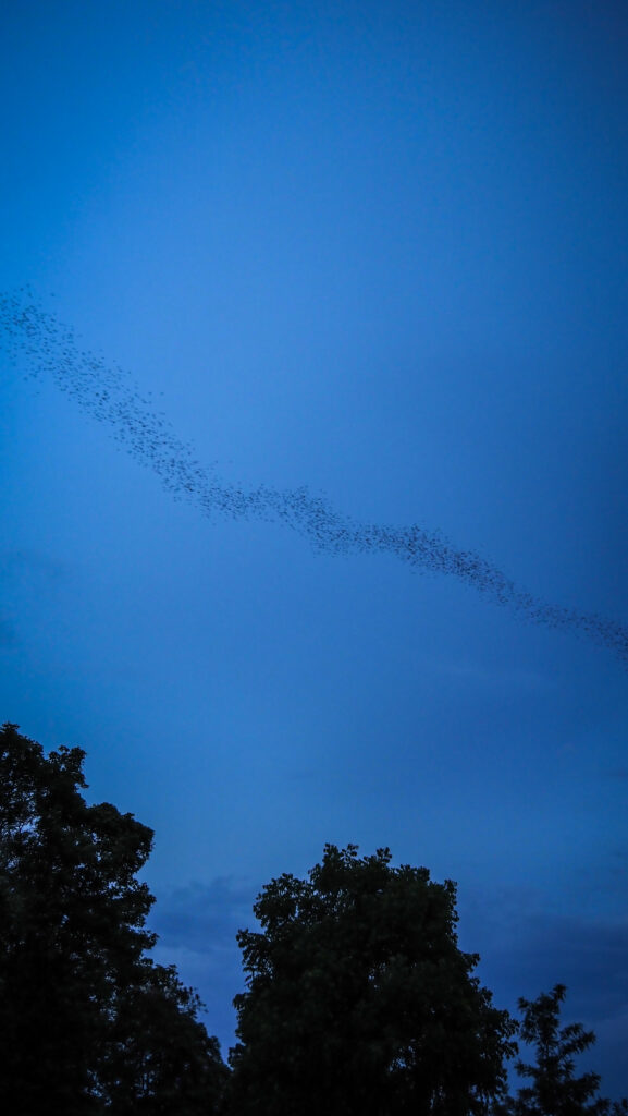
In the afternoon we went to the third river safari and again it was to the same place. We mostly saw different kinds of monkeys and once it was already after sunset, then plenty of huge bats (flying foxes) could be spotted in the sky. Impressive and very memorable view!


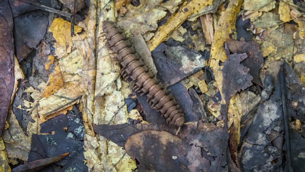
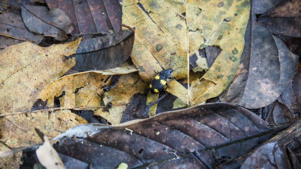
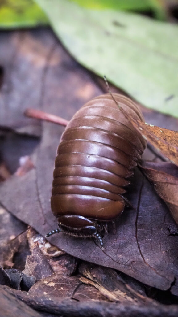
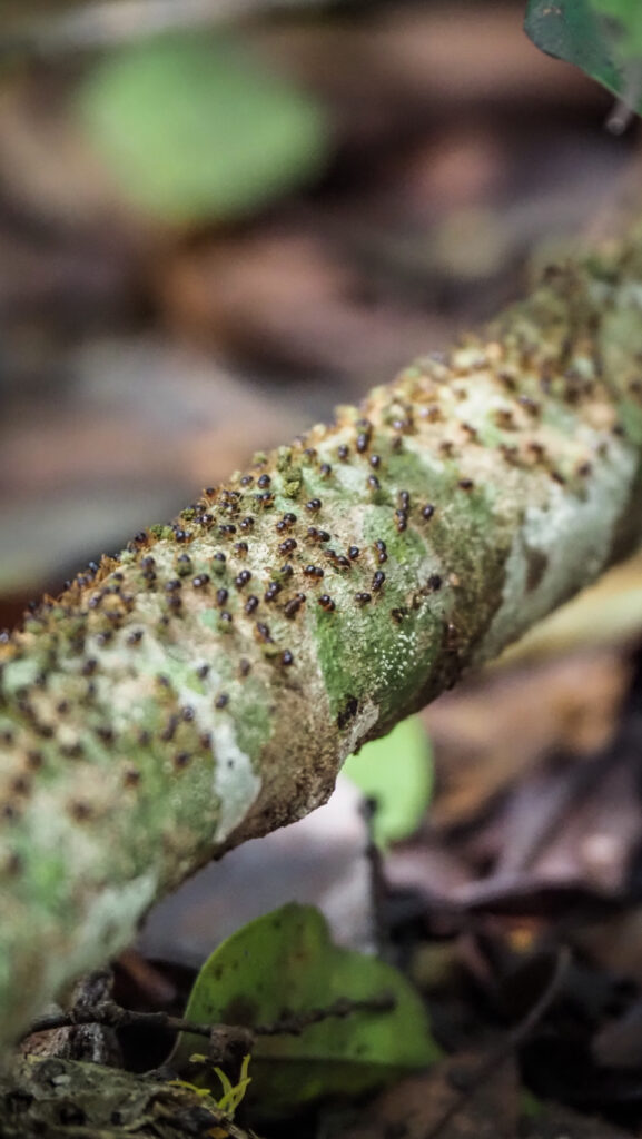
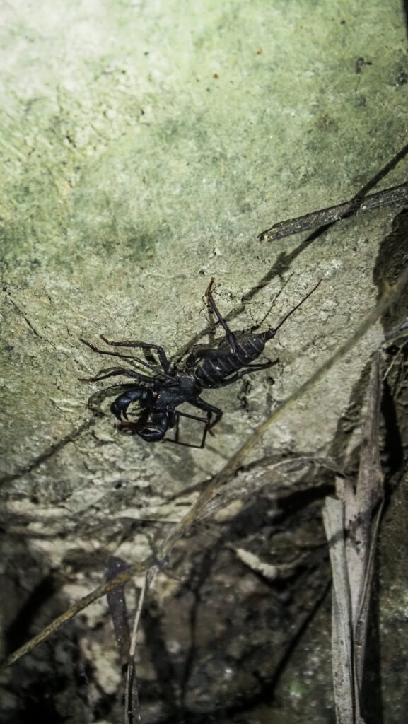
After dinner, we went for a night walk and saw some spiders, frogs and bugs. The guide was trying hard which was appreciated but unfortunately, we couldn’t find slow loris or tarsier.
Day three
We had breakfast and then it was time to pack our bags and board the boat back to the jetty. There, we split into two vans – one going back to Sandakan and another one heading towards Lahad Datu. Those heading to Lahad Datu, including me, had to pay extra for the transport (50 RM per person).
2 days 1 night itinerary
You will do a night boat ride on the day you arrive at the camp and a morning boat ride the next day. After breakfast, you will leave the camp at about 10 AM.
General impressions
I’m glad I decided to join the tour with Uncle Tan and I cannot say a bad word about the organization as everything went according to plan and the staff working at the camp were very friendly. However, I wouldn’t repeat it.
The reason is very simple. I was quite shocked to see the destruction of the area and deforestation in favour of palm oil plantations. Don’t expect to see some wonderful wild areas full of animals. There is a thin line of trees along the river but you can see through it. And everything beyond is nothing more than palm oil plantations. Some years ago it must have been a wonderful place, now it’s just the skeleton left…